


Interference Analyzer
R&S
®
Cable Rider ZPH
312
User Manual 1321.0950.02 ─ 07
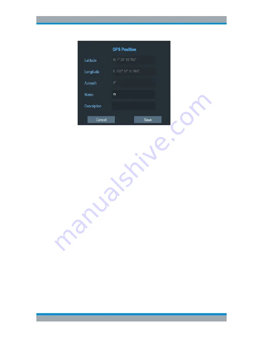
2. Enter the "Name" or "Description" in the input field.
Displaying geotags
You can also display as many geotags as you want on the map. See
Figure 13-3
.
1. Select the "GPS Position" softkey.
2. Select the "GPS Position List" softkey.
The R&S Cable Rider ZPH opens the "GPS position list" dialog box.
3. Select the geotag you want to display or remove from the map.
The R&S Cable Rider ZPH highlights the geotag selected. See item 6 in
Fig-
ure 13-5
.
4. Select the "Include" softkey to check or uncheck the selected geotag.
The R&S Cable Rider ZPH displays or removes the geotag items accordingly on
the map.
13.3.5.2
Triangulation
With option R&S ZPH-K15, the R&S Cable Rider ZPH is able to locate the source of
interference using the triangulation method.
To perform triangulation, you have to create at least two or three geotags with azimuth
information. After creating the geotags (see
"Creating geotags manually"
on page 308),
display them on the map (see
Figure 13-7
). Based on these geotags, the R&S Cable
Rider ZPH calculates the point at which the azimuth lines of the geotags intersect. This
intersection point represents the source of the interference.
If necessary, you can assign a different azimuth for the current position of GPS coordi-
nates.
1. Select the "GPS Position" softkey.
Working with Maps


