


Interference Analyzer
R&S
®
Cable Rider ZPH
297
User Manual 1321.0950.02 ─ 07
When you create a GPS referenced map, it provides some useful features:
●
The map created is automatically rotated with the north side faces up.
●
The R&S Cable Rider ZPH calculates and displays the distance between measure-
ment points (in meters or feet, depending on the regional settings).
●
You are able to embed the collected data into maps with a larger scale. Thus, you
are able to, for example, combine measurement data recorded with the "Outdoor
Mapping" application and data recorded with the "Indoor Mapping" application in a
single map.
For more information, see
Chapter 13.3.5, "Collecting Map Data"
,
on page 307.
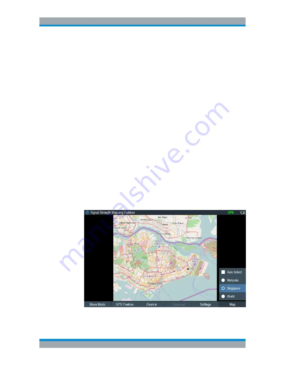
13.3.3
Displaying Maps
After you have downloaded or created the maps, save them to a USB flash drive,
which you can use with the R&S Cable Rider ZPH.
1. Press [MEAS] key.
2. Select "Meas Mode" softkey.
The R&S Cable Rider ZPH opens a submenu that contains the measurement func-
tion for selection.
3. Select the "Outdoor Mapping" menu item.
The R&S Cable Rider ZPH provides the outdoor mapping measurement functions.
4. Select the "Map" softkey.
The R&S Cable Rider ZPH opens a menu that contains all the maps that you have
stored on the USB flash drive. (The map names correspond to the folder names for
every area you have saved, see
"Map folder"
on page 295).
5. Select the maps of the area you need.
Working with Maps


