


Interference Analyzer
R&S
®
Cable Rider ZPH
295
User Manual 1321.0950.02 ─ 07
●
Transferring Maps
................................................................................................ 295
●
Transferring Indoor Maps
......................................................................................296
●
Displaying Maps
....................................................................................................297
●
Measuring Interference
......................................................................................... 304
●
Collecting Map Data
..............................................................................................307
●
Analyzing Geographic Data
.................................................................................. 317
●
Analyzing Indoor Data
..........................................................................................318
13.3.1
Transferring Maps
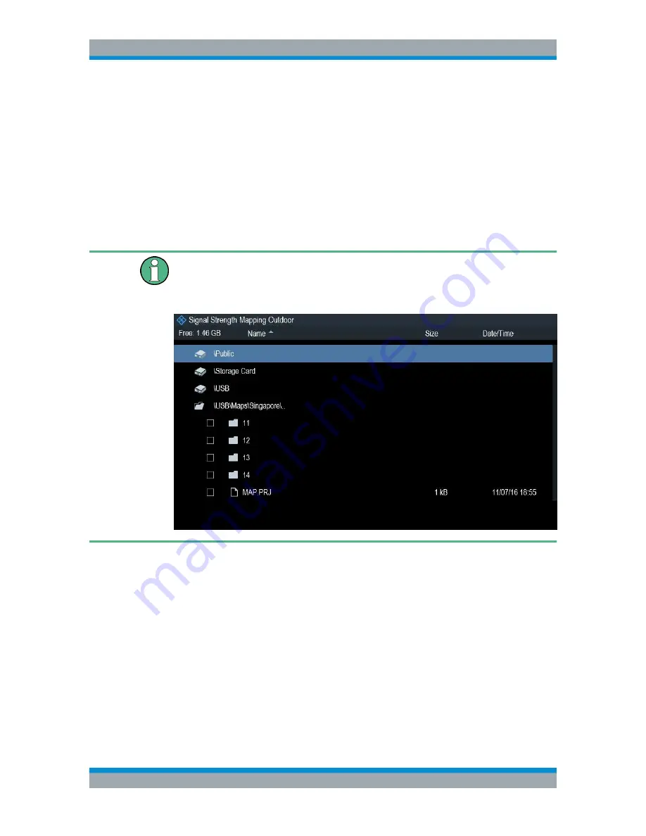
Map folder
The map folder contains the individual map data. You can create an arbitrary map
folder name to store the map data, otherwise the R&S Cable Rider ZPH may not be
able to find the map data.
The R&S Cable Rider ZPH contains only a world map. If you want to make measure-
ments on a more detailed map, you have to download and install the maps on the R&S
Cable Rider ZPH. The R&S Cable Rider ZPH supports the map material supplied by
the OpenStreetMap project (
http://www.openstreetmap.org
).
The easiest way for you to transfer the maps to the R&S Cable Rider ZPH is to use the
R&S OpenStreetMap Wizard (OSM Wizard) application. The OSM Wizard is available
for download at the product homepage http://www.rohde-schwarz.com/product/
zph.html.
The OSM Wizard establishes a connection to the Open Street Maps database on the
Internet and thus it needs an Internet connection. The tool allows you to select the area
that you need for your measurements and download the corresponding maps. After the
corresponding maps are downloaded, copy the map data and stored it to an
arbitrary
folder name
in the USB stick.
Working with Maps


