


Interference Analyzer
R&S
®
Spectrum Rider FPH
257
User Manual 1321.1011.02 ─ 11
11.3.2
Transferring Indoor Maps
Before you can use the features of the indoor mapping application, you have to create
an indoor map (for example a floor plan). These maps are created with features availa-
ble in the R&S InstrumentView software package, and are based on an image of the
area you would like to measure. The image source can be one of the common file for-
mats (for example ".jpg", ".png" or ".tif").
1. Start the R&S InstrumentView software.
2. Start the "Map Creator" menu item in the "Preparation" menu.
The R&S InstrumentView opens the indoor map editor.
3. Select the "Open Image" button in the map editor to open the image file.
The R&S InstrumentView opens a dialog box to select an image file.
Note:
You can zoom in and out of the indoor map using the mouse wheel.
4. Select the image file of the area you want to measure.
If you need a small part of the image, you have to edit it with an image manipula-
tion program before loading it into the R&S InstrumentView software.
5. Select the "Generate Map" button.
The R&S InstrumentView creates a map data from the image you used.
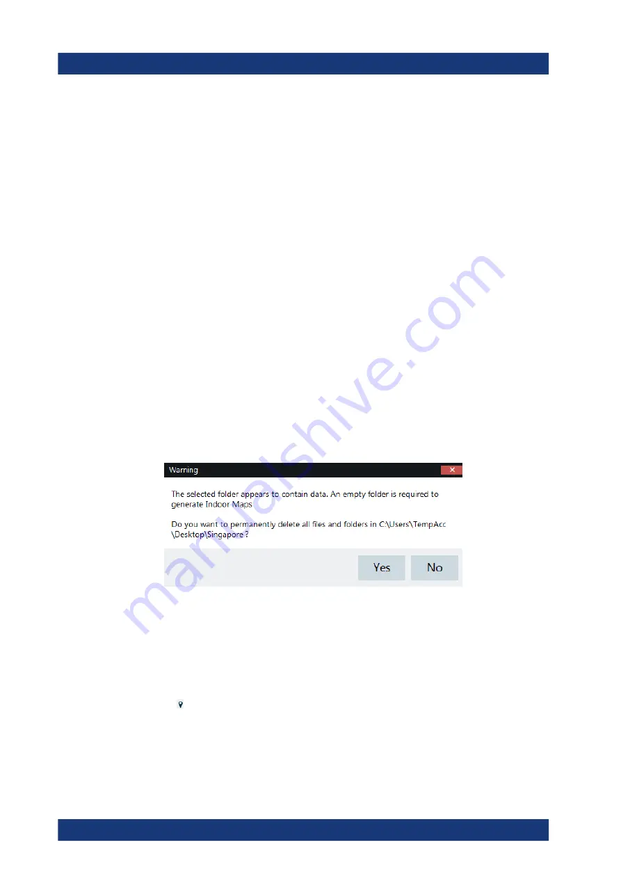
6. Select a new folder to save the map data.
Note:
When generating a new map data, a new folder should be created to avoid
deleting the existing content of the folder.
7. Copy the folder containing the map data to the USB stick.
8. Insert the USB stick to the USB connector of the R&S Spectrum Rider.
In addition to creating a map, you can also specify the exact geographical location of
the area you are measuring. To do so, you have to specify three GPS reference points
of the area. Enter the corresponding latitude and longitude data in the corresponding
fields available in the "Create Map" dialog box and move these three GPS reference
icons, displayed in the preview of the map to the corresponding locations. For more
information, see "Map Creator "in the R&S InstrumentView.
When you create a GPS referenced map, it provides some useful features:
●
The map created is automatically rotated with the north side faces up.
Working with Maps
www.allice.de
Allice Messtechnik GmbH


