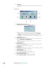
Chart area
Chart area is a graphical representation of vector or raster charts based on IEC standards. This
enables users to view all aspects of safety, interoperability, efficiency, compatibility and
environmental impact of ECDIS900.
North symbol
The North symbol enables users to view that the top of the chart is the true north not a
magnetic north towards which a compass points. It is always displayed the top left corner of
the chart area.
Ú
Note:
If the North direction is not the same for all displayed charts, then the North
direction is dependent on the position and location of the vessel.
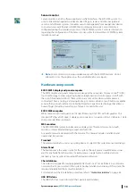
Console area
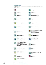
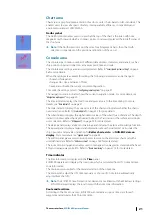
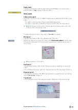
The console area contains number of different data displays, indicators, and panels, such as
ship position, speed and direction, active waypoint, time and scale.
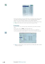
The console area settings are password protected. Refer to
"Security and system settings"
When the settings are available for editing, the following parameters can be changed:
•
show and hide panels
•
change color, size, and name of fonts
•
freeze and unfreeze the current console configuration.
To modify the settings, refer to
The navigation mode indicator shows the current navigation mode. For more details, see
The time indicator displays the local time and gives access to the time dialog. For more
details, see
The scale indicator displays the current scale of the chart and indicates whether the chart is
overscaled or not. Refer to
The wind indicator displays the alphanumeric values of the wind (True or Relative). The depth
indicator displays either the depth under the keel, the Transducer or the surface according to
user’s selection. Refer to
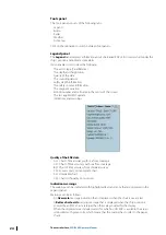
The alarm panel displays alarms and warnings, and includes the alarm acknowledge function.
The legend panel displays a legend and information about the loaded S57 cells under the
ship’s position and provides indication for
Better chart exists
and
NON-ENC data on
display
The editors panel gives access to edition tools to work on the electronic chart and with a
used defined data. Refer to
The route monitoring panels enables users to manage active waypoints, determine the fixed
ETA, and manage waypoint ETA. Refer to
Time indicator
The time information is displayed in the
Time
panel.
ECDIS900 operates and displays the local time, which is calculated from UTC time and time
zone information.
The mariner is responsible for the manual selection of the time zone.
The mariner can adjust the UTC time manually or choose UTC time to be automatically
adjusted from the GPS.
Ú
Note:
The ECDIS900 time format is encoded and is not linked with the Windows settings.
ECDIS900 always displays the local time with the time zone information.
Route and local time
According to the time zone map, ECDIS900 automatically assigns a time zone for each
waypoint and calculates the ETA in local time.
The user interface
| ECDIS900 Operator Manual
21

