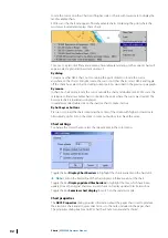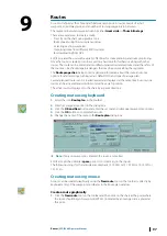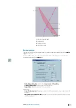
•
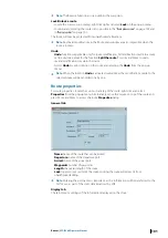
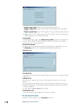
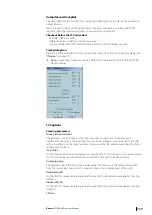
Display waypoint name
Toggle on/off to display the waypoint name.
•
Display turning radius
Toggle on/off to display the turning radius along with the WP
symbol.
•
Display range/bearing
Toggle on/off to display the range and bearing on the segments.
Ú
Note:
In the case of the GC leg, several courses are provided at intervals along the leg to
allow the Navigator to closely follow the GC leg.
Turning radius
To activate the display, toggle on the
Display turning radius
checkbox in the Display tab. It
is also possible to change the turning radius of a waypoint by clicking
+
and
-
short keys
when mouse cursor is on top of waypoint.
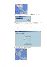
Rename the waypoints
Re-numbers the waypoints after a waypoint has been added to or deleted from the route.
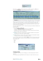
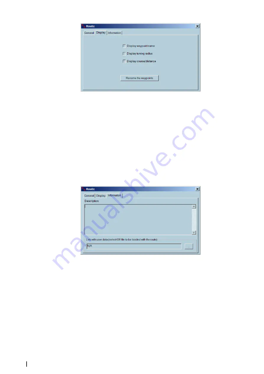
The
Information
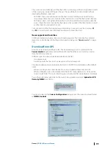
tab allows entering additional information about the route.
Information tab
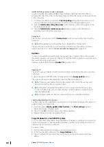
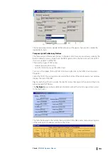
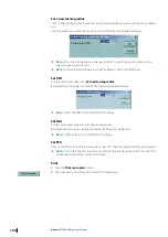
Link with OE file
Create a file with Object editor tools including points, line, areas, or text. Link the file with the
current route.
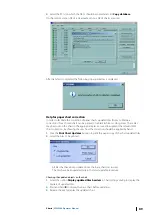
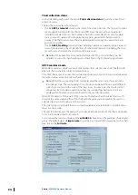
Loading a route
When the route is loaded and activated the OE file linked with the route is automatically
displayed.
When the OE file is loaded with the route, all objects of the file are defined as user alerts. For
example, if the ship enters an area, defined in the OE file loaded with the route, an entering
zone alarm is triggered.
See more details in
Unloading the route
The OE file is automatically unloaded when the route is unloaded.
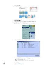
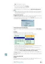
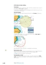
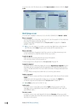
Route plan overview
Right click on the route leg and select
Route plan
from the list.
102
Routes
| ECDIS900 Operator Manual

