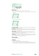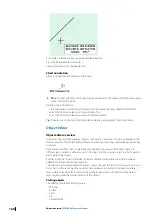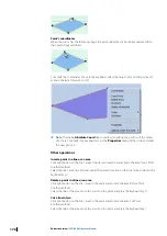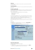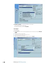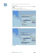
Point
The Point tool allows plotting isolated points on the chart in particular the positions of the
ship calculated manually from bearing lines, Radar, Dead reckoning or Astronomical
calculations.
Ú
Note:
The plotted points are stored in the logbook and therefore displayed / hidden in
real time on the chart during the replay of the logbook.
Plotting a point
1.
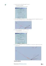
Select the tool Point and click on the chart.
2.
The ECDIS first tries to find an intersection point under the click between, two lines or a
line and an arc. Then the co-ordinates of the plotted point are made equal to the co-
ordinates of the intersection point.
3.
If no intersection is found under the click, the co-ordinates are not adjusted.
4.
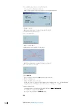
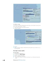
In the Properties dialog, select the type of point and enter time and log information.
Modifying a point
1.
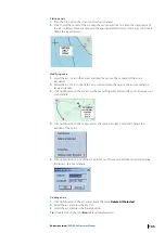
Select the point, click on the point and drag the mouse to the new location.
2.
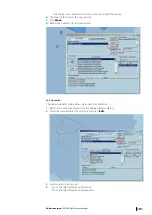
Click right button on that point, open the dialog Properties and modify position, type of
point, time or log values.
Deleting a point
1.
Click right button on the point and activate the menu 'Delete All Selected'.
2.
Select the point and press the key 'Del'.
3.
Select the point and press the 'Delete' button.
Tip:
Double click on the tool Point deletes all displayed points.
Current information
1.
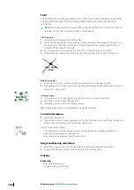
Select the Current tool.
2.
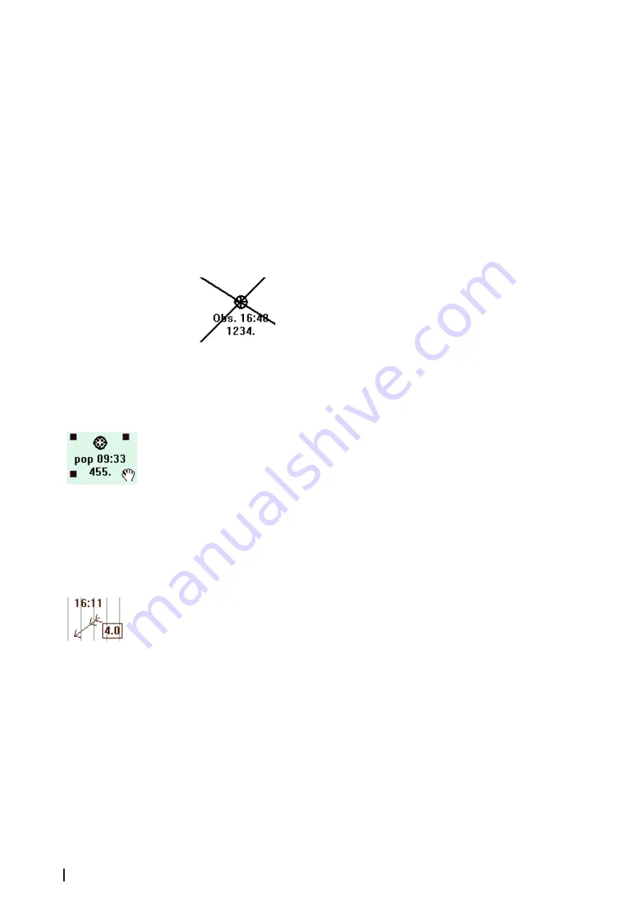
Click on the chart and insert manually on the chart information about force and direction
of the current at the time the ship will pass that point.
Delete Current Information
•
Click right button on the current arrow and activate the menu Delete All Selected.
•
Select the current and press the key Del.
•
Select the current and press the Delete button.
Range and bearing calculation
1.
Select the Compass tool to measure distance and bearing between two points.
2.
To erase the information on the chart double click on the button.
Polyline
Plot a line
•
Select the Polyline tool .
•
A double click ends the line.
166
Editors overview
| ECDIS900 Operator Manual

