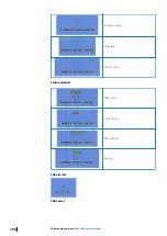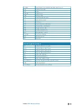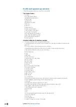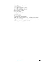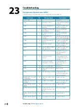
Profile configuration parameters
The following parameters are saved for a user profile:
Chart related sector
•
Accuracy
•
Date dependent objects
•
Highlight date dependent
•
Full light lines
•
Highlight info
•
Highlight document
•
Unknown
•
Scale min
•
Shallow pattern
•
Shallow water dangers
•
Contour labels, if provided
•
Four shades, if provided
•
National language, if provided
•
Paper chart/Simplified symbols
•
Plain/symbolized boundaries
•
Text group layer
Graphical indication, if selection provided
•
of crossing safety contour during route planning
•
of prohibited areas, areas with special conditions and navigational hazards during route
planning
•
of crossing safety contour during route monitoring
•
of prohibited areas and areas with special conditions during route monitoring
•
of navigational hazards during route monitoring
•
Selected sea area
•
Range
•
Orientation
•
True motion reset
•
Geodetic datum, if selectable
•
Manual updates
•
Mariner's notes
•
Selected route
•
Past track
•
Past track length, if selectable
•
Past track time-labels
•
Look-ahead time
•
Any edit window
•
Position data source
•
Safety contour
•
Safety depth
•
Cross track limit
•
Distance to prohibited areas, areas with special conditions and navigational hazards
•
Object highlight, selected object, track display from log
•
Cursor pick
•
Any additional window (dual view, 3D, tides)
•
Any additional information layer, proprietary layer (weather, tides, AML)
•
Chart update, chart information exchange
•
Color differentiation test diagrams
•
Update review
•
Chart 1
•
Units
•
Crossing a navigational hazard in route monitoring mode
•
Vector time (length)
•
Vector mode
•
Vector stabilization
•
Symbol for target association, if provided
200
Annexes
| ECDIS900 Operator Manual

