Survey area and survey lines
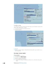
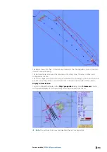
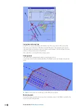
ECDIS900 can receive and display information about the survey area and the survey lines.
The survey area is stored as an OE object in ECDIS900 and can be displayed upon request.
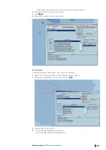
The survey lines are stored as routes in ECDIS900 route database. This should have the same
name as in the internal system in the TRINAV.
One survey line is a route defined by two waypoints.
Planning mode
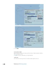
The survey area is displayed with a black colored lines and icons.
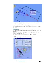
Several survey lines that are downloaded from the TRINAV system are displayed as planned
route.
Ú
Note:
A survey area can include up to 1000 different survey lines.
Monitoring mode
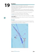
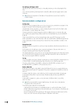
During the survey operation, one survey line is selected as active in the TRINAV system for the
seismic calculation department.
194
Seismic module
| ECDIS900 Operator Manual

