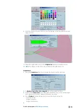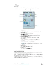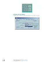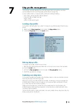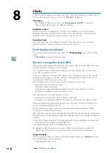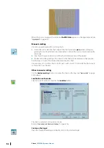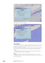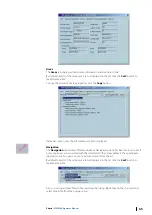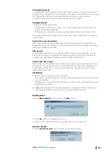
The chart is centered on the selected target.
Waypoint centering
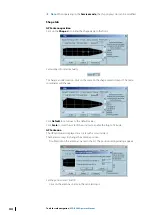
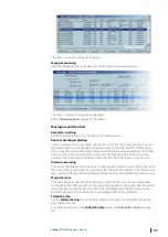
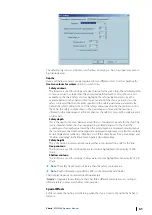
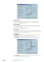
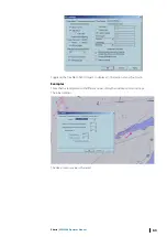
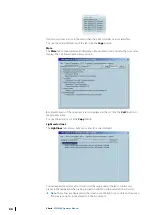
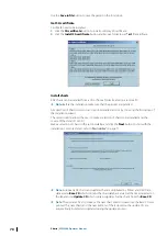
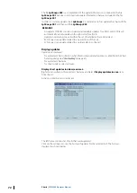
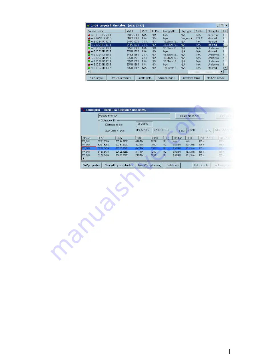
Open the Route plan dialog. Double click on the Name of selected waypoint.
The chart is centered on the selected waypoint.
Refer to
Moving around the chart
Automatic scrolling
ECDIS900 automatically scrolls the chart in the following cases:
Route or user object plotting
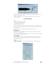
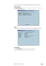
To plot a waypoint or an user object outside the current S57 chart area, move the cursor in
the desired direction, and the chart will automatically scroll in that direction. With a raster
chart, move the cursor in the desired direction and the chart will automatically scroll in that
direction until it moves outside the current chart. Left clicking on the black screen area
outside of the chart border will load automatically the chart with the most precise scale.
Distance measuring
To measure the distance from one point to another point located outside of the chart, move
the cursor in the required direction, outside of the chart area left clicking on the black screen
area outside of the chart border will load automatically the chart with the most precise scale.
Waypoint move
To move a waypoint outside of the chart area, proceed in the same way as automatically
scrolling the chart. With raster charts, the waypoint will appear on the next chart. Pick up the
waypoint again by placing the cursor above it and holding down the left mouse button.
Move the waypoint to the chosen location and release the left mouse button.
Follow the ship
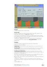
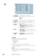
Use the
Follow the ship
function for automatically scrolling the chart under the moving
ship (relative motion).
For a detailed overview of the
Follow the ship
Charts
| ECDIS900 Operator Manual
57

