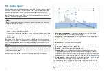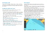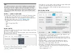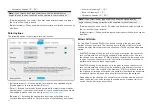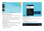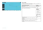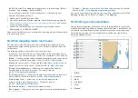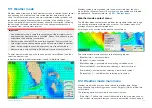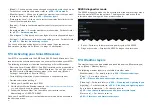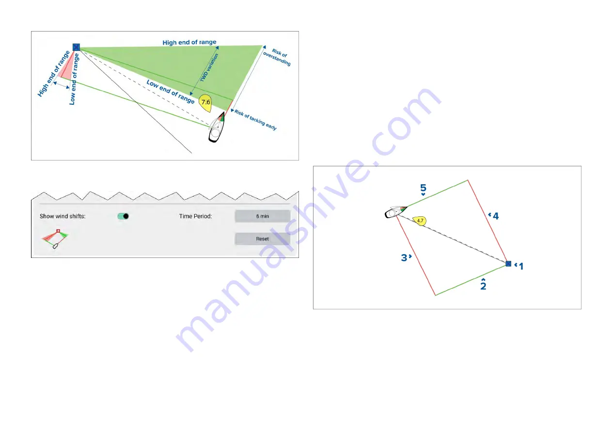
Wind shift data options are available from the
[Laylines]
settings page:
[Chart app > Settings > Laylines]
•
[Show wind shifts]
— Toggle wind shifts ON / OFF
•
[Time Period]
— Select the time period that you want the wind shift data to
cover. The available options are:
–
3 min
–
6 min (default)
–
12 min
–
30 min
–
60 min
•
[Reset]
— Reset the recorded wind shift data
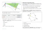
Displaying and interpreting laylines
Once laylines are enabled and correctly configured in the
[Laylines]
tab in
the Chart app Settings, they will start rendering on the Chart display as your
vessel is underway.
Laylines are displayed as a parallelogram under the following conditions:
• The vessel is under active navigation towards a
[Waypoint]
or
[Goto]
.
• A tack is required to meet an active
[Waypoint]
or
[Goto]
.
• The direct distance to the destination point is less than 150 nm from your
vessel.
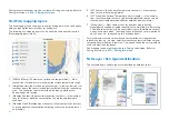
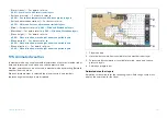
When the destination point is
upwind
the laylines will be displayed in a
parallelogram formation, with green and red laylines showing the port and
starboard tacks, as shown below:
1.
Destination
2. Starboard destination layline
3.
Port vessel layline
4.
Port destination layline
5. Starboard vessel layline
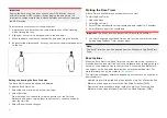
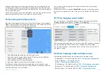
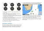
When the destination point is
downwind
the laylines will be displayed as an
orange parallelogram formation, adjusted for gybing, as shown below:
223
Summary of Contents for LIGHTHOUSE 4
Page 2: ......
Page 4: ......
Page 20: ...APPENDIX C HARDWARE AND SOFTWARE COMPATIBILITY 478 APPENDIX D DOCUMENT CHANGE HISTORY 480 20...
Page 414: ...414...
Page 451: ...4 Select Delete again to confirm 5 Select OK YachtSense ecosystem 451...
Page 484: ......
Page 503: ......

