Getting Started with Street Atlas USA 2005
11
•
MI
•
MN
•
MO
•
MS
•
NC
•
ND
•
NE
•
NH
•
NJ
•
NY
•
OH
•
PA
•
RI
•
SD
•
VA
•
VT
•
WI
•
WV
•
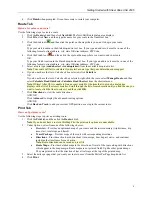
How can I move a start, finish, stop, or via in a route?
Click the
Route
tab and click the button for the type of point you want to move (for example, to move your
start, click
). Then, drag the point to the desired location.
•
How can I find all of the nearby points of interest?
Right-click your location on the map, click
Find Travel POIs
, and then click the distance you want to
search within (1 mile, 5 miles, or 10 miles). The gas stations (and other points of interest) display in results
area in the Find tab.
OR
If you are tracking with a GPS device, perform a radar search to locate points of interest within a
designated distance of your current GPS position.
•
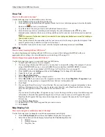
How do I import an address book file into Street Atlas USA 2005?
You can use the Draw tab to import address book files into Street Atlas USA 2005. Once you have
imported an address book file, you can search for the contents of that file within the program.
*Note
: Address book text files must be:
•
Comma or tab delimited.
•
In the format: name, address, city, state, ZIP, phone.
•
Less than 50 records long.
For more information, see
Importing Files as Draw Objects
on page 66.
•
How do I join routable roads so that I can route on them?
If you want to be able to route on a routable road you have added to your map, you need to use the Join
Roads option to join the new road to an existing road.
To join a routable road to an existing road, use the Routable Roads feature to add the road to the map.
Then, right-click the existing road that the new routable road intersects and select
Join Roads
. You are
now able to route on the new routable road.
•
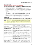
How can I center the map on the previous map center?
Click the center button in the compass rose to center the map on the previous map view. This button
performs an undo function for the last pan or zoom (up to 256 times).

