Street Atlas USA® 2009 User Guide
52
Tutorial: Using Route Avoids
Ever been planning a trip only to find out that a major road you're planning to take is
currently under construction? How about when you're in the middle of your travels
and you see a sign that says "Road Construction next 35 miles"? The Route Avoid
feature lets you assign an area to avoid and even recalculate an existing route.
Step 1 — Create a route
Create a route. There are several ways to create a route; see the Creating a Route
tutorial on page 37 for more information.
Step 2 — Select the area to avoid
1.
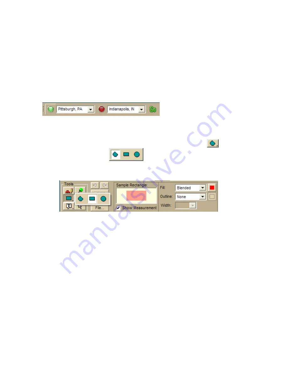
Decide which area you want to avoid. On this trip, we want to avoid Columbus
Ohio.
2.
Click the Draw tab, and then click and hold the Polygon tool
and select
the shape you want.
.
3.
From the Fill drop-down list, select Blended.
Note See Placing a Circle, Rectangle, or Polygon on the Map on page 200 for
more information about the options available.
4.
Click the map and drag the shape to cover the area to avoid.
The measurements of the area you are covering display as you move the
mouse.
5.
When you have the area you want, release the mouse.
The selected area is indicated by the fill color.
Summary of Contents for Street Atlas USA 2009
Page 1: ...Street Atlas USA 2009 User Guide ...
Page 2: ......
Page 44: ......
Page 56: ...Street Atlas USA 2009 User Guide 44 NavMode in 3 D ...
Page 74: ...Street Atlas USA 2009 User Guide 62 Step 6 Create your maps Click Next to create the maps ...
Page 78: ......
Page 90: ......
Page 120: ......
Page 146: ......
Page 168: ......
Page 228: ......
Page 271: ...Using Voice Navigation and Speech Recognition 259 Last leg Approaching finish Off route ...
Page 272: ......
Page 290: ......
Page 294: ......
Page 298: ......
Page 376: ......
Page 388: ......


