Street Atlas USA® 2009 User Guide
300
installed on your handheld.
Radius
Infinite to search an unlimited distance from your current
GPS location or the screen center. Other options include:
•
1 mi, 2 mi, 5 mi, 10 mi, 20 mi (if you selected mi, ft as
your unit preference)
•
2 km, 4 km, 8 km, 15 km, 30 km (if you selected km, m
as your unit preference)
•
1 NM, 2 NM, 5 NM, 10 NM, 20 NM (if you selected NM, ft
or NM, m as your unit preference)
Maximum
One of five numeric list items (10, 25, 50, 100, and 250) to
choose the maximum number of matches you want to
display. For example, if you choose the number 10 and the
Find Results indicates 21 matches found, the closest 10 are
shown.
Sort by
Match quality to sort matching feature names by those
most closely matching the search text entry. Match Quality
results can range from 0% to 100%, with 100% being the
best text match and displaying at the top of the Find Results
list.
Proximity to sort matching feature names by distance from
screen center or GPS location. Features closest to screen
center or GPS location display at the top of the Find Results
list. There is no proximity limit.
6.
When all search list items are selected, tap Search. When the search is complete,
the Find Results list box displays "Search done" at the top of the dialog area along
with the number of matches found. As feature name matches are found, the list of
search results displays.
Notes
•
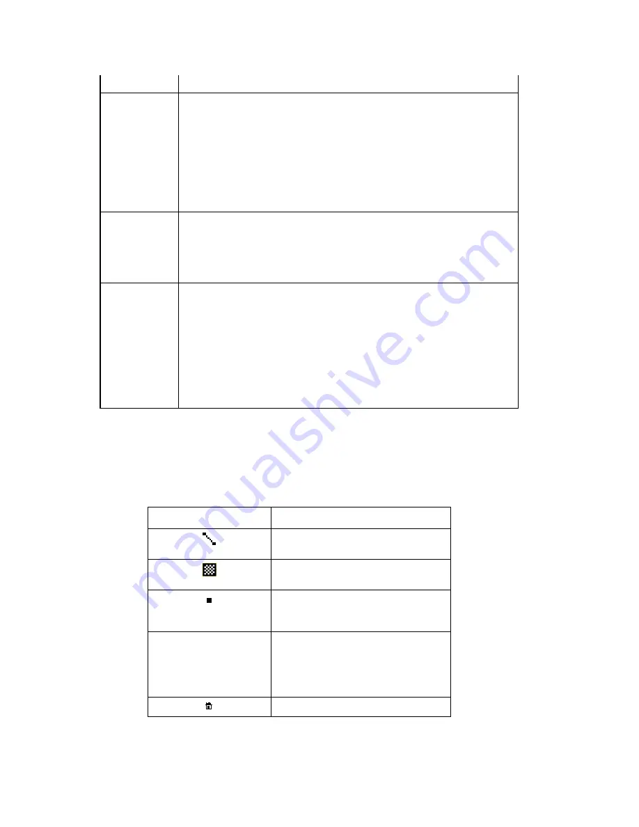
Symbols to the left of the feature name match indicate what type of feature
is listed.
Symbol Feature
Type
Line (for example, road, stream,
railroad)
Polygon (for example, island,
water, park)
Point of Interest (for example,
placename, landmark, historic
sites)
Symbol style varies
based on the style
selection made when
the waypoint was
added
Waypoint (wpt)
Address Book Entry
•
Query results are sorted based on the sorting type (match quality or
proximity) selected on the Find screen. While a search is running, results are
Summary of Contents for Street Atlas USA 2009
Page 1: ...Street Atlas USA 2009 User Guide ...
Page 2: ......
Page 44: ......
Page 56: ...Street Atlas USA 2009 User Guide 44 NavMode in 3 D ...
Page 74: ...Street Atlas USA 2009 User Guide 62 Step 6 Create your maps Click Next to create the maps ...
Page 78: ......
Page 90: ......
Page 120: ......
Page 146: ......
Page 168: ......
Page 228: ......
Page 271: ...Using Voice Navigation and Speech Recognition 259 Last leg Approaching finish Off route ...
Page 272: ......
Page 290: ......
Page 294: ......
Page 298: ......
Page 376: ......
Page 388: ......


