Operating Modes
Version 6.03, May 2017
Page 124 of 192
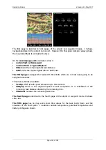
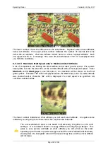
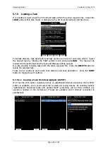
The first page is identical to first pages of the airport and waypoint modes. It shows
navigational data to the current turn point. However the final glide indicator always shows
the required altitude to complete the task.
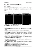
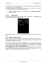
On the
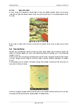
second page
additional data is shown:
current net vertical speed
current track
and
groundspeed
tDis
shows the remaining total task distance.
tskE
shows the required glide ratio to task finish.
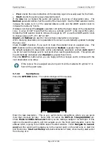
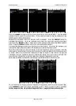
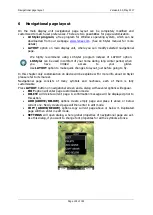
The third page
is designed for tasks with time limits which are in most cases going to be
assigned area tasks.
Three new symbols are added:
Tsk.Sp
which is task speed achieved up to this moment.
tReq.Sp
which is the required speed to task completion. It is calculated as the
remaining task distance divided by the remaining time.
tRemain:
indicates the remaining task time.
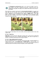
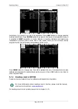
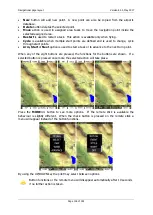
The fourth page
is identical to the fourth page of the airport or waypoint mode. It shows
side view.
The fifth page
has no map and shows time values for the task being flown and the
elevation of the finish point. In addition outside temperature, potential temperature and
battery voltage are shown.

