Operating Modes
Version 6.03, May 2017
Page 55 of 192
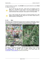
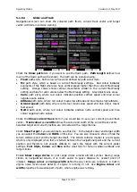
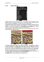
type. Turn the ZOOM selector knob to change the transparency value. 100% means
completely transparent and only the airspace zone outline will be shown. 0% means
completely solid (not recommended). Image below shows example of combinations of Width
and Colour property and rendering of airspace zone.
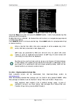
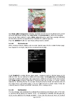
You can set separately airspace colour and border for side view and map view, if option
Copy styles to side view
is not checked. Press the
DEFAULT
button to reset these
settings back to default.
5.1.6.3
Waypoints and Airports
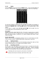
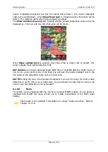
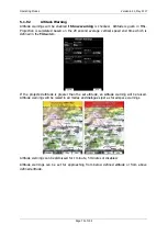
The waypoint and airport look and feel is defined in this dialogue. Check the
show
waypoints
item to enable waypoints and airports display in navigational pages. If this item
is unchecked no waypoints will be displayed. If
duplicates
is checked, duplicated points
might be shown on map, when same waypoint(airfield) is defined in user file as in airport
database. Use
show only airports from database
to display only airports from database
on airport mode.
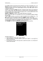
The
Max.visible
item defines how long waypoint labels and detailed symbols are shown. If
the maximum number of waypoints on the current screen is more than the defined value
only small blue dots will be shown for waypoints and no labels will be drawn.
Font style, colour and size can be defined using the
Font style and colour
item and the
Font size
item. When editing style, turning the ZOOM selector knob will change the font
colour.
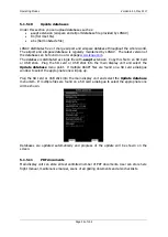
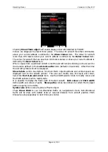
Waypoint labels can be setup to give even more detail. Label details can be defined for
each individual waypoint type (all types, all landable, unknown, waypoint, mountain top,
grass airfield, outlanding, glider site, solid airfield, mountain pass, sender, VOR, NDB,
Cooling tower, Dam, Tunnel, Bridge, Power plant, Castle, Intersection, Marker).

