Operating Modes
Version 6.03, May 2017
Page 51 of 192
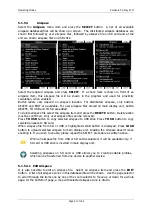
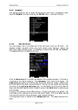
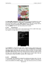
Colours of terrain
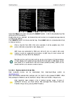
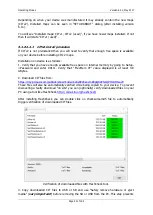
can be changed using different terrain colour schemes. The following
colour schemes are available:
Mountain
is default setting with colours from green to white at 2000 m.
Flatland
is setting where colours are changing up to 1000 m.
Flatland2
is setting where in low terrain is white, otherwise normal colours are used.
Low contrast
: same as Mountain but colours are not so intensive.
High contrast
: same as Mountain but colours are more intensive and from 0-100 m,
white colour is used.
Zebra
alternating colours are used.
Zebra 2
, less intensive alternating colours are used.
ICAO
colouring is similar to ICAO maps.
Cliffs
colours emphasis slopes and is similar to Google maps display
Atlas
colour scheme is approximation of Imhof colouring widely used in map books.
Grayscale
OSM
Himalaya
Relative
is a colour scheme related to the current altitude (unreachable area is
coloured from orange to red, reachable area is white coloured)
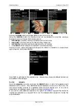
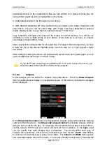
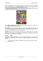
In the
Elements
group land features are setup separately.
Zoom
defines up to which
zoom level a selected land feature is visible. Also line width and colour can be setup.
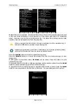
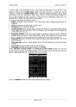
Press the
DEFAULT
button to reset these settings back to default.
Following elements are available:
Water
Road
Highway
Railroad
Town
Track
Airport
Minor Water
Forest
Street
Minor roads
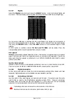
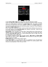
If you have checked shadows and you are flying on flat areas with elevation close
to MSL or below, on terrain will be displayed black spots. Black spots will
disappear, if you uncheck shadows.
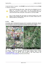
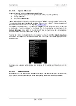
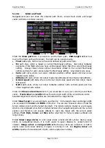
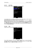
Check
Show raster maps
, if you would like to see also scanned maps (See also
chapter 5.1.5.6).

