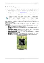
Navigational page layout
Version 6.03, May 2017
Page 149 of 192
6.3
Creating new symbol
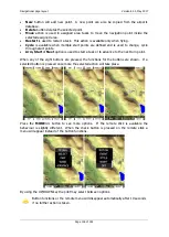
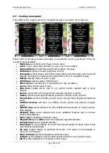
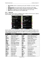
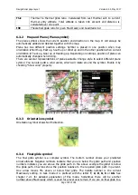
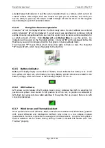
Press NEW button to add a symbol to navigational page. A pull down menu will open.
When symbol is already included on the page or unavailable, it will be greyed-out. There are
several symbols available:
Navboxes
are symbols which have numeric value.
Label
is just a plane label with text. You can use it for checklists.
Map and Plane
will add map and aircraft symbol to the page.
Orientation
symbol is showing direction of north.
Final glide
symbol shows current MacCready setting and information about required
altitude. It is highly recommended to include this symbol on navigational page.
Battery
displays status of power supply.
GPS Status
indicates status of GPS signal.
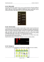
Wind Arrow
shows direction of wind relative to map orientation.
Zoom
symbol defines scale of map.
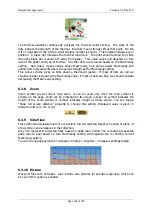
Side View
enables lateral view of our position toward selected goal or plane
bearing.
Picture
symbol will print images bind to selected waypoint or airport.
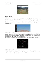
History
symbol shows aircraft altitude and terrain elevation over past time.
Flarm Radar
symbol will display a radar screen showing Flarm targets at predefined
zoom.
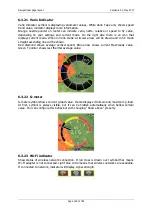
Artificial Horizon
will show an artificial horizon symbol and optional compass
points.
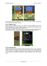
Altitude Tape
shows altitude with some additional features like on modern primary
flight displays.
Airspeed Tape
shows airspeed with some additional features like on modern
primary flight displays.
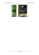
Vario Tape
is displaying variometer value
Magnetic Rose
and
HSI
symbols are displaying magnetic direction.
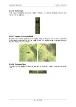
Compass tape
shows magnetic direction
Flaps tape
®
is unique display of current and required position of flaps. Scale of flap
tape matches airspeed tape.
3D map
enables display of synthetic 3D terrain. This option is not available in
version 4.0 of firmware.
Vario Indicator
symbol is displaying variometer value.
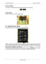
G-Meter
symbol displays current g-load and also minimum and maximum value.
Wi-Fi
symbol indicates current status of Wi-Fi signal.

