534
442704/A
Description
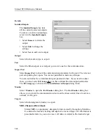
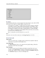
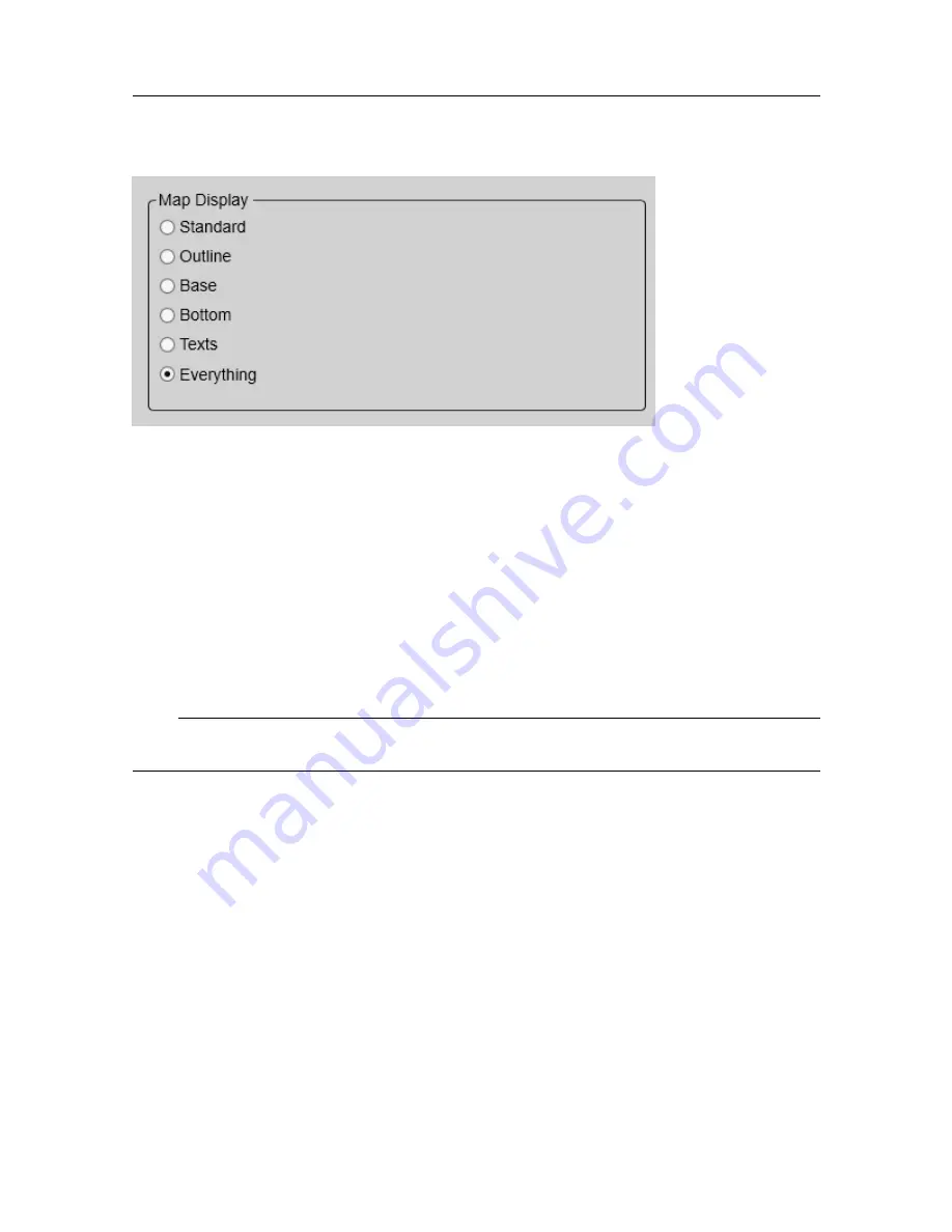
Select which map elements you want to include. These map settings are only valid for WMS
(Web Map Service) maps from a KONGSBERG navigation system.
A Web Map Service (WMS) is a standard protocol developed by the Open Geospatial
Consortium in 1999 for serving georeferenced map images over the Internet. These
images are typically produced by a map server from data provided by a GIS database.
[] A WMS server usually serves the map in a bitmap format, e.g. PNG, GIF, JPEG,
etc. In addition, vector graphics can be included, such as points, lines, curves and text,
expressed in SVG or WebCGM format.
https://en.wikipedia.org/wiki/Web_Map_Service, June 2021
Note
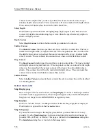
The map is only shown in Horizontal views when
Range Projection
is set to True.
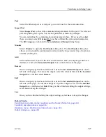
Related functionality
Map function
This is an "on/off" switch. Use
Map
to enable or disable the geographical map layer.
This function is opened from the
Cosmetics
menu.
Safety Depth page
The
Safety Depth
page allows you to change the safety depth settings, and thus the
presentation of the various water depths.
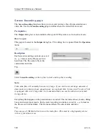
Map Setup page
If you want to add a map to the display presentation you must first select a
map
provider
. Use the
Map Setup
page to choose a map provider and to enter necessary
provider URL, API Key or license. This page is located in the
Installation
dialog box.
The
Installation
dialog box is located on the
Setup
menu.
Simrad ST90 Reference Manual
Summary of Contents for Simrad ST90
Page 1: ...kongsberg com simrad Simrad ST90 REFERENCE MANUAL ...
Page 2: ......
Page 337: ...442704 A 335 Related topics Sonar views page 326 User interface ...
Page 413: ...442704 A 411 Related topics Menu system page 375 Display menu page 384 Menu system ...
Page 631: ...442704 A 629 Related topics Concept descriptions page 626 Concept descriptions ...
Page 687: ......
Page 688: ... 2021 Kongsberg Maritime ISBN 978 82 8066 211 8 ...
Page 689: ......
Page 690: ...Reference Manual Simrad ST90 ...

