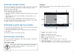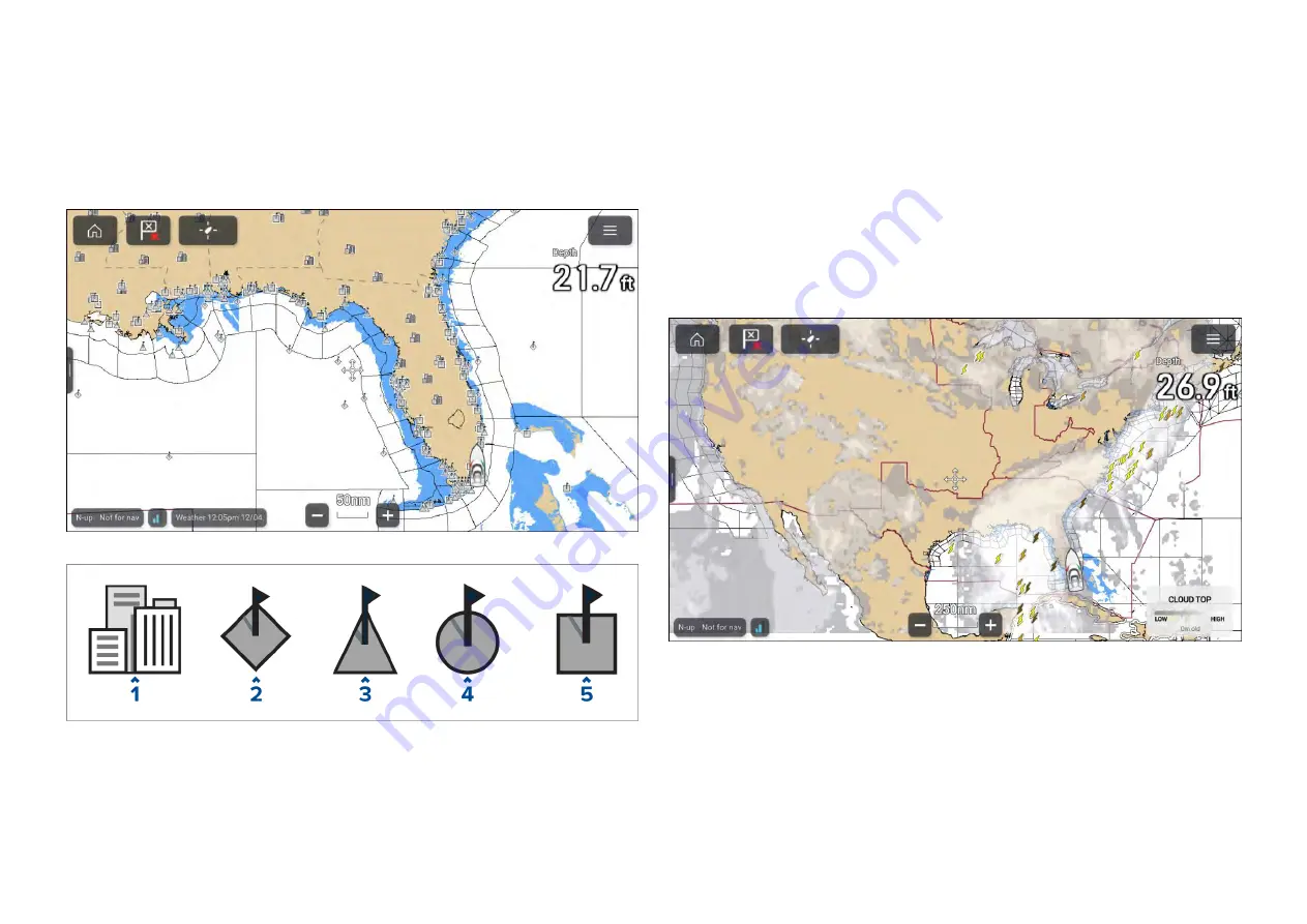
17.7 Cities and Surface observation stations
layers
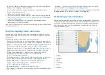
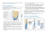
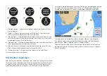
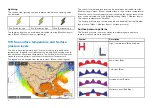
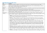
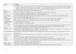
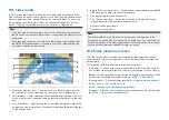
The Cities layer and Surface observation stations layer display symbols which
represent the location of cities and surface observation stations respectively.
The symbols used for surface observation stations also identify the type of
station.
City forecasts are available from the context menu when a City is selected.
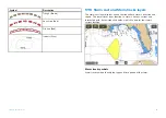
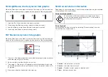
1.
City
2. Buoy station
3.
CMAN station (Coastal-marine automated network)
4.
WSI station (Weather services international)
5. METAR station (METeorological Aerodrome Reports)
The cities layer can be enabled and disabled from the
[Weather layers]
menu:
[Menu > Weather layers > Cities]
.
The surface observation stations layer can be enabled and disabled from
the
[Weather layers]
menu:
[Menu > Weather layers > Surface observation
stations]
.
17.8 Cloud top and Lightning layers
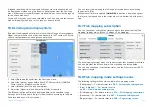
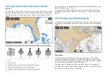
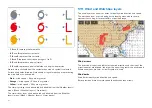
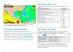
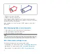
The cloud top layer provides a satellite image of current cloud coverage and
the lightning layer provides symbols to show the location of recent lightning
strikes.
Cloud tops
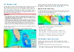
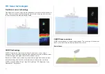
Cloud tops use Gray shading to identify cloud top height. The shading
changes at 5,000 feet increments, from Dark Gray to White. Clouds lower
than 5,000 feet are not displayed. A legend is available that can be displayed
onscreen to aid identification of cloud top heights.
The legend can be enabled from the main menu:
[Menu > Show legend]
.
The cloud tops layer can be enabled and disabled from the
[Weather layers]
menu:
[Menu > Weather layers > Cloud tops]
.
239
Содержание LIGHTHOUSE 4
Страница 2: ......
Страница 4: ......
Страница 20: ...APPENDIX C HARDWARE AND SOFTWARE COMPATIBILITY 478 APPENDIX D DOCUMENT CHANGE HISTORY 480 20...
Страница 414: ...414...
Страница 451: ...4 Select Delete again to confirm 5 Select OK YachtSense ecosystem 451...
Страница 484: ......
Страница 503: ......

