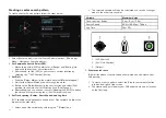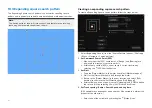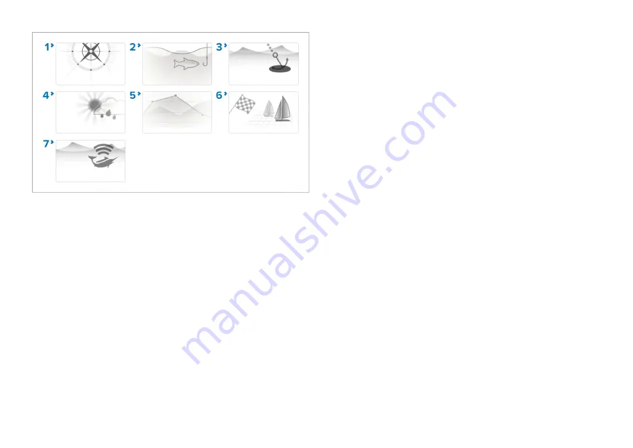
1.
[NAVIGATE]
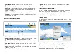
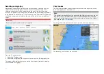
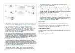
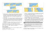
— Navigate is the default mode. Full chart detail and menu
options are available. Settings changes are saved to the user profile in
use. For details refer to:
p.210 — Chart app - Detailed mode
2.
[FISHING CHART]
— Fishing mode optimizes the chart app for
Fishing and if supported by your selected cartography, displays more
detailed contour lines. Full menu options are available. Settings
changes are saved to the user profile in use. For details refer to:
p.212 — Chart app - Fishing chart mode
3.
[ANCHOR]
— Anchor mode optimizes the chart app for anchoring and
provides access to the anchoring wizard so that the anchor drag alarm
parameters can be configured. Full menu options are available in Anchor
mode, and any settings changes are saved to the user profile in use. For
details refer to:
p.215 — Chart app - Anchor mode
4.
[WEATHER]
— Weather mode allows you to overlay weather data directly
on the chart and view animated weather graphics or read weather
reports. Settings changes are saved to the user profile in use. Weather
mode is available when the MFD is connected to a SR150 or SR200 Sirius
receiver. and requires a SiriusXM weather subscription. For details refer
to:
p.234 — Chart app – Weather mode
5.
[TIDES]
— In tides mode, tide station and current station icons are
replaced with graphics representing tide and current conditions.
Animation controls are displayed that enable playback of tide and
current predictions over a 24 hour period. For details refer to:
p.247 — Chart app - Tides mode
6.
[RACING]
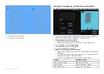
— Racing mode optimizes the chart app for Race Sailing.
Racing mode is available when the MFD is configured using the Sailing
boat activity. In racing mode the race start line and race timer options
are available from the menu, allowing you to create a start line and
countdown timer which can help optimize your racing start. For details
refer to:
p.219 — Chart app - Racing mode
7.
[FISHMAPPING]
— Fish mapping mode enables you to overlay
fish mapping layers and fish types directly on the chart. Settings
changes are saved to the user profile in use. Fish mapping mode is
available when the MFD is connected to an SR200 Sirius receiver and
requires a SiriusXM fish mapping subscription. For details refer to:
p.229 — Chart app - Fish mapping mode
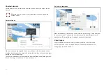
Vessel icon
The vessel icon is used to show your vessel’s current GNSS position.
The vessel icon can be changed from the
[Boat details]
settings menu:
[Homescreen > Settings > Boat details > Boat type]
.
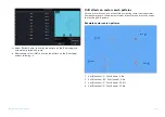
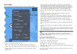
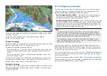
Chart motion mode
The
[chart motion]
setting controls the relationship between the chart and
you vessel.
3 chart motion modes are available:
155
Содержание LIGHTHOUSE 4
Страница 2: ......
Страница 4: ......
Страница 20: ...APPENDIX C HARDWARE AND SOFTWARE COMPATIBILITY 478 APPENDIX D DOCUMENT CHANGE HISTORY 480 20...
Страница 414: ...414...
Страница 451: ...4 Select Delete again to confirm 5 Select OK YachtSense ecosystem 451...
Страница 484: ......
Страница 503: ......


