SV-MAP-270 Navigation Mapping Software
7-28
SkyView Pilot’s User Guide - Revision M
Nearest Airports, Navaids, and User Waypoints
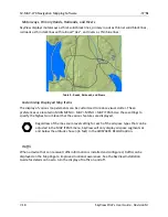
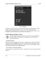
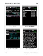
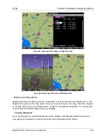
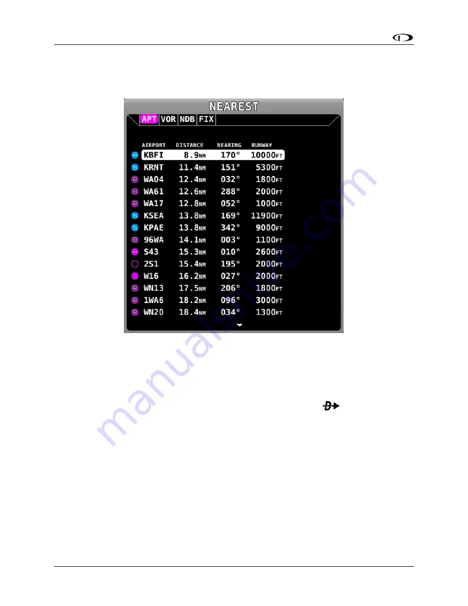
To quickly bring up a list of the nearest airports, navaids, and user waypoints press MAP >
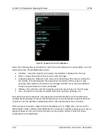
NRST. A window similar to the one seen in Figure 80 will be displayed.
Figure 80–Moving Map Nearest Window
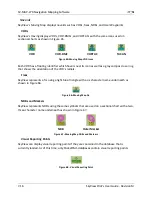
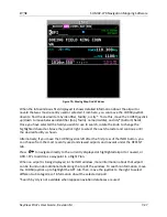
Each tab in the bar of tabs at the of the Nearest window contains a list of aviation features.
They include APT (airports), NDB, VOR, FIX (fixes), VRP (visual reporting points), and USER (user
waypoints). Move the joystick left and right among the tabs to select the category you are
interested in. Rotate or move the knob up/down to highlight different items in the list. Once
the desired facility is shown, press INFO for more information about it,
to navigate
directly to it, or ADD->FPL to add it as a waypoint in a Flight Plan.
Detailed Facility Information
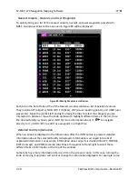
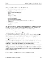
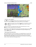
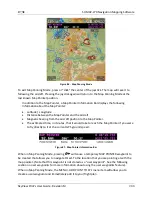
When an airport is displayed in the Info window after the INFO button is pressed, detailed
information about the selected facility is displayed. Information is arranged into tabs of
organized information. For example, information about airports is divided into APT, COMMS,
RWY (runways), and RMK (remarks) tabs. Move the joystick left and right to select these
different tabs of information at the top of the window.
Some tabs have more information than can fit on the screen at once. In this case, turning the
knob or moving it up/down will scroll or change the information displayed. For example, some

