
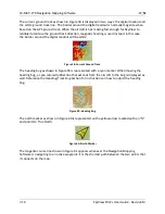
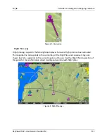
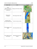
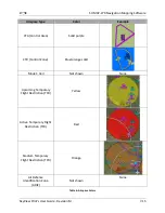

SV-MAP-270 Navigation Mapping Software
SkyView Pilot’s User Guide - Revision M
7-3
then entered in SETUP MENU > LOCAL DISPLAY SETUP > LICENSE > LICENSE CODE. If you
have more than one display in the aircraft, choose one to install it onto and provide
information for only that display. Once any display is licensed, all connected displays in
the Aircraft can use the Navigation Mapping Software.
2.
An SV-MAP-270 SkyView Navigation Mapping Software Certificate may be purchased
from Dynon Avionics or any authorized Dynon Avionics retailer. This certificate can be
redeemed for a license code that can be entered in SETUP MENU > LOCAL DISPLAY
SETUP > LICENSE > LICENSE CODE. To redeem a certificate simply follow the instructions
on the certificate itself. Similar to the above, you will need to redeem your certificate by
visiting
license.dynonavionics.com
with your SkyView display model and serial number
ready. Alternatively, you can call Dynon Avionics directly at 425-402-0433 to redeem a
certificate.
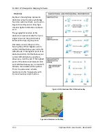
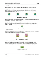
Databases
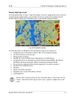
SkyView utilizes a variety of databases to display information on the Moving Map and present
options for navigation. These include:
Terrain data: High, low, and very low resolution terrain database data is used to display
the topographic map. Available worldwide for free from Dynon Avionics.
Aviation data: Airports, nav aids, airspace, airport information, etc. Available for free for
US customers from Dynon. Jeppesen and PocketFMS data available for all other
customers worldwide.
Obstacles data: Available for free for US customers from Dynon. Jeppesen and
PocketFMS data available for all other customers worldwide.
Basemap/Cultural Data: Database is available for free for all customers from Dynon
worldwide.
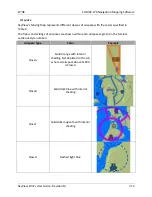
Viewing Information about Installed Databases
The Installed Databases Page (SETUP MENU > LOCAL DISPLAY SETUP > INSTALLED DATABASES)
allows users to see the databases installed on their equipment as well as their respective
versions and expiration dates. The sections below outline the various databases that are
installed in SkyView.
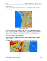
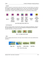
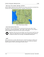
Terrain Data
SkyView uses high resolution terrain data to display the base topographic map on the Map
Page, as well as to display Synthetic Vision on the PFD page. SV-D1000s and SV-D700s ship
preloaded with high resolution terrain data for North America (includes the continental United
States, part of Alaska, most of Canada, Mexico, part of Central America, and the West Indies).
Dynon offers downloadable high resolution terrain data files for other regions of the world on
its website at
www.dynonavionics.com/docs/terrain.html
.
To update the terrain data in a SkyView display, download the appropriate file onto a USB flash
drive (a 4 GB drive is included with every SkyView display) and then reference the Loading


