
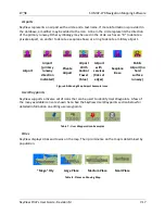
SV-MAP-270 Navigation Mapping Software
7-10
SkyView Pilot’s User Guide - Revision M
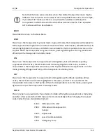
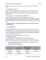
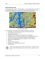
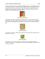
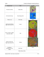
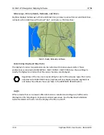
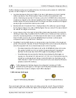
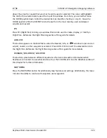
The current ground track as shown in Figure 58 is displayed in two ways: the digital readout and
the white ground track line. The border around the digital readout is normally magenta when
based on the GPS ground track. When the aircraft is not moving fast enough for SkyView to
reliably determine the ground track direction, magnetic heading is used instead. In this case,
the border around the digital readout will be white.
Figure 58–Current Ground Track
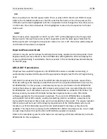
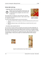
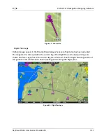
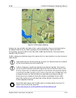
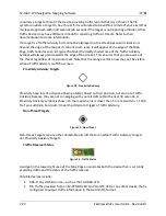
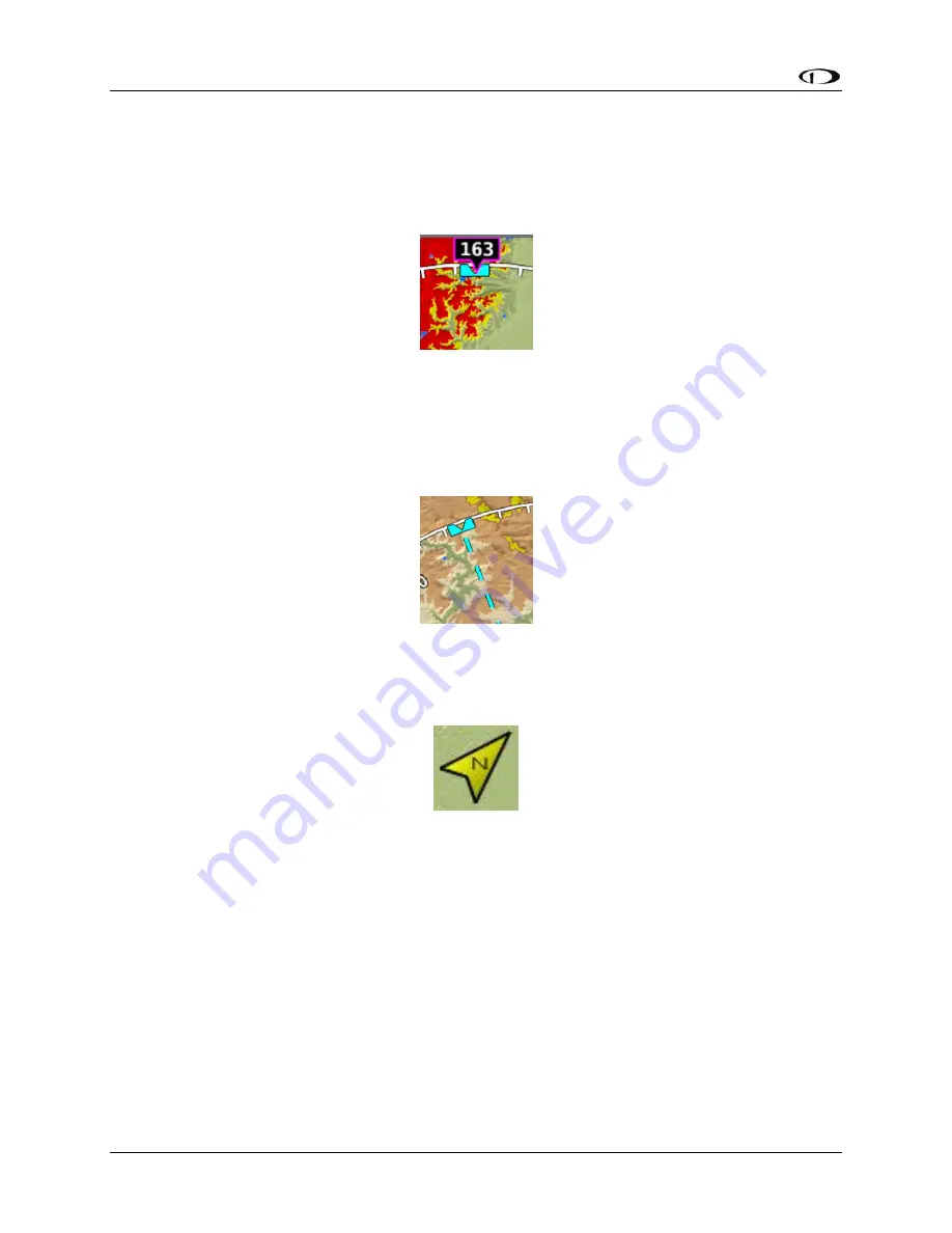
The heading bug as shown in Figure 59 is represented with a cyan marker. When moving the
heading bug, a cyan colored lubber line that extends from the aircraft to the bug is displayed as
well. Reference the Heading/Track Bug Section for instructions on how to adjust the heading
bug.
Figure 59–Heading Bug
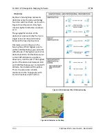
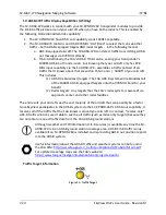
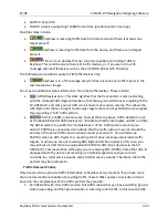
The north marker as shown in Figure 60 is represented with a yellow arrow marked with an “N”
and points to True North.
Figure 60–North Marker
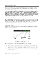
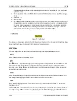
The magenta course line shown in Figure 61 appears whenever the Navigation Mapping
Software is navigating to an active waypoint. It is the shortest path between the two points that
it connects on the map.


