4-2
5. Enter latitude desired for the line and press the [
↓
] key. If the latitude is 34
°
38.838'N, for
example, press [3], [4], [3], [8], [8], [3], [8], [
↓
]. Use the
key to switch between North and
South and vice versa.
6. Enter longitude desired for the line. If the longitude is 135
°
34.638'E, for example, press [1],
[3], [5], [3], [4], [6], [3], [8]. Use the
key to switch between East and West and vice versa.
7. Press the [ENT] key.
8. Press the [LINE ENT] key. If the entered position is within the current display range the line
point can be seen on the screen.
9. Enter latitude of next point. (Same procedure as step 5.)
10. Enter longitude of next point. (Same procedure as step 6.)
11. Press the [LINE ENT] key to inscribe the line.
12. Repeat step 9 through 11 to complete the line.
Note:
When you attempt to enter a line and the line memory is full, a buzzer sounds. To enter a
line, erase unnecessary lines or increase line memory capacity. For further details, see
Paragraph 13.4.
4.1.2 Entering lines by range and bearing
1. Press [MENU], [3], [2] to open the Setting menu.
2. Press
[↓]
to select Set LN Entry Method.
3. Press
[←]
or
[→]
to select Rng/Brg.
4. Press the [LINE START] key.
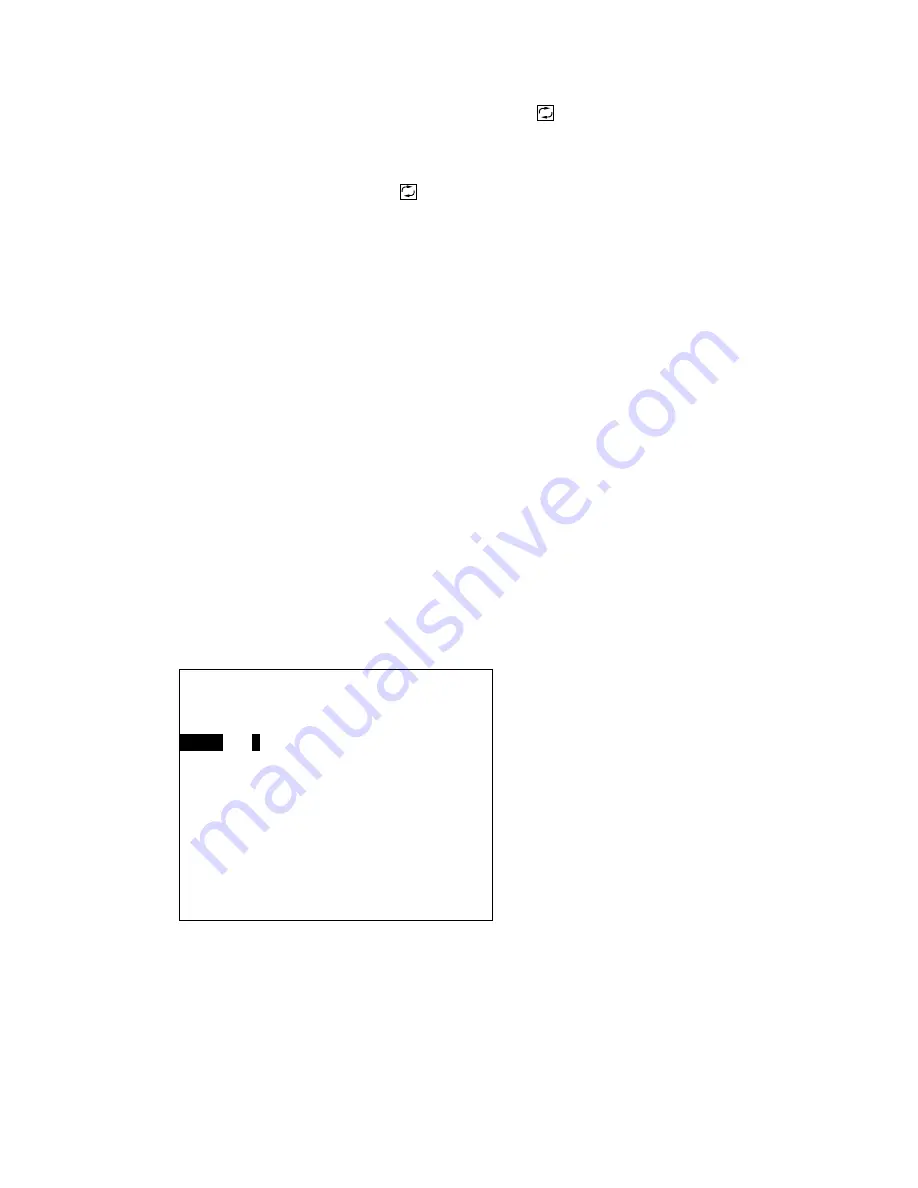
5. Enter the range from own ship to line position and then press the [
↓
] key. (The available
range is 00000.000 to 99999.999.) If the range is 45 miles, for example, press [0], [0], [0], [4],
[5], [0], [0], [0], [
↓
].
Start Point [Rng/Brg]
Range
0
0204.117 nm
Bearing
232.8 °M
LINE START key: Close
↑↓←→
: Sel ENT: Enter
Summary of Contents for GD-280
Page 1: ...COLOR GPS PLOTTER GP 280 380 680 COLOR VIDEO PLOTTER GD 280 380 680...
Page 136: ...This page is intentionally left blank...
Page 154: ...This page is intentionally left blank...
Page 164: ...This page is intentionally left blank...
Page 260: ...A 2 2 World Time Chart...
Page 280: ......


