Troubleshooting & Operating Tips
ProMARK X
8-14
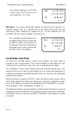
This symbol appears on all three
screens when the SQ from one or
more satellites is 3 or less.
POS 32`26.67N
118`29.99W
3D 163m ALT
Ñ ~
Old Data.
The unit automatically updates its position every second. If a
satellite signal is lost, or a satellite sets or becomes obstructed, the unit
switches to other satellites to update the fix. If other satellites are not
available, the unit cannot update the position fix.
The hourglass symbol appears on
all displays when the unit has been
unable to update the position fix
for at least 10 seconds. The position
displayed is not current, and should
not be used for navigating.
CHOOSING A DATUM
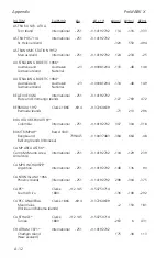
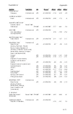
All charts are created using a system that includes the scale, type of
projection, and a map datum. There are hundreds of map datums in use
throughout the world, but only a few are in widespread use today.
The ProMARK X has 66 map datums plus five user-entered datums. You
should set the unit to use the same datum as your charts and equipment; a
position in one datum may differ by 300 meters or more from one calculated
using another datum.
Before setting the datum in SETUP 9, check the datum used by your charts
(look at the legend) and the manuals for your electronic navigation equip-
ment. If the datum you need is not available with the ProMARK X, set a user-
entered datum. This is described in Chapter 4.
The National Oceanic and Atmospheric Administration (NOAA) is currently
changing its charts to NAD83; for most purposes, this is the same as WGS84.
Most NOAA charts in use now are NAD27 or NAD83. USGS maps are usually
in NAD27.
POS 32`26.67N
118`29.99W
3D 163m ALT
Ä ~
Summary of Contents for GPS PROMARK X
Page 4: ......
Page 10: ...vi...
Page 14: ...Introduction ProMARK X 1 4...
Page 92: ...Attributes ProMARK X 6 8...
Page 188: ......


