Tutorials
41
Tutorial: Routing with GPS — NavMode
This tutorial explains routing with GPS in NavMode. This is the default GPS view — a
hands free full-screen view that you can display in 2-D or 3-D. By default, the
Control Panel is hidden and the tabs are minimized; however, you can change your
display options. If you are playing back a GPS log file, the tab area is not minimized
so you have access to the controls.
You can also route with GPS using GPS tab view. To learn more about routing with
GPS in tab view, see the Routing with GPS - Tab View tutorial on page 39.
To turn NavMode on or off, click the NavMode
button on the toolbar. When the
button appears indented
NavMode is on.
Note The button is greyed out
unless you have a GPS device plugged in or are
playing back a GPS log file.
To learn more about using your GPS with your application, see the Help topics under
Using GPS.
Step 1 — Get ready
Create a Route
Before you get ready to leave on your trip, use the application to create a route
using your current GPS location as the route start point and your destination as your
finish. You can create routes using the Route tab, the toolbar, or right-click
functionality; in this tutorial, we are using the toolbar.
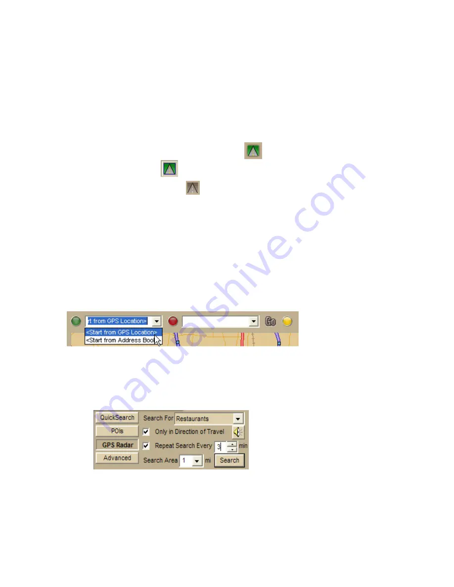
Find POIs
You can set up your application to automatically find points of interest using the GPS
Radar option.
1.
Click the Find tab and click the GPS Radar subtab to search for your
category of interest. For this tutorial, we want to know where we can find
restaurants.
2.
If you select the Only in Direction of Travel check box, you won't have to
back track to make your next stop; however, if you're driving in a very rural
area, you may not want to use this feature because the closest point of
interest may be behind you.
3.
Select the Repeat Search Every check box and enter a number of minutes.
Important You must select this for your results to display.
Содержание Street Atlas USA 2009
Страница 1: ...Street Atlas USA 2009 User Guide ...
Страница 2: ......
Страница 44: ......
Страница 56: ...Street Atlas USA 2009 User Guide 44 NavMode in 3 D ...
Страница 70: ...Street Atlas USA 2009 User Guide 58 Step 8 Exit the MapShare Wizard Click Close to exit the MapShare Wizard ...
Страница 74: ...Street Atlas USA 2009 User Guide 62 Step 6 Create your maps Click Next to create the maps ...
Страница 78: ......
Страница 90: ......
Страница 120: ......
Страница 146: ......
Страница 168: ......
Страница 228: ......
Страница 271: ...Using Voice Navigation and Speech Recognition 259 Last leg Approaching finish Off route ...
Страница 272: ......
Страница 290: ......
Страница 294: ......
Страница 298: ......
Страница 376: ......
Страница 388: ......


