Street Atlas USA® 2009 User Guide
244
fix displays as "3-D DGPS."
To Monitor Your GPS Status in GPS Tab View
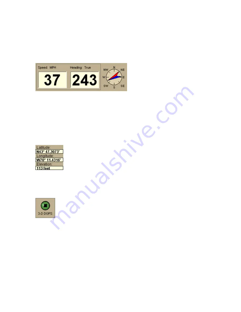
Speed and Heading
Speed—Displays the speed you
are traveling based on the units
you selected on the Display tab
in the Options dialog box.
Heading—Displays the direction
you are traveling as degrees T
(True North) or M (Magnetic
North) based on the bearing
selected on the Units area on the
Display tab in the Options dialog
box. Heading is provided as a
numerical value as well as a
compass direction.
Coordinates/Elevation
Coordinates—The coordinate fields display based on the units
you selected on the Display tab in the Options dialog box.
Elevation—Displays the current elevation if the GPS status is 3-
D and is based on the selected Units preference. Elevation can be
displayed with a 2-D status; your position is indicated accurately
on your screen as you travel unless you are in an area where
your elevation varies greatly.
GPS Status
No GPS—A red circle with a slash indicates the GPS receiver is not
yet detected by your computer. This status usually displays when
initialization first begins.
Acquiring—A red blinking circle indicates the GPS receiver is not yet
receiving sufficient satellite data to determine your position. This
status displays while the GPS receiver is acquiring satellite data and
can take several minutes.
2-D—A yellow circle indicates the GPS connection is successful but
there is insufficient satellite data to determine your GPS position.
This usually indicates insufficient data for an accurate location due
to:
•
Only three satellites being used
•
Poor signals from the satellites.
Move your receiver to another location until you get better reception.
3-D—A green circle indicates the GPS receiver is receiving sufficient
satellite data to determine your location. When the status reads 3-D,
Содержание Street Atlas USA 2009
Страница 1: ...Street Atlas USA 2009 User Guide ...
Страница 2: ......
Страница 44: ......
Страница 56: ...Street Atlas USA 2009 User Guide 44 NavMode in 3 D ...
Страница 70: ...Street Atlas USA 2009 User Guide 58 Step 8 Exit the MapShare Wizard Click Close to exit the MapShare Wizard ...
Страница 74: ...Street Atlas USA 2009 User Guide 62 Step 6 Create your maps Click Next to create the maps ...
Страница 78: ......
Страница 90: ......
Страница 120: ......
Страница 146: ......
Страница 168: ......
Страница 228: ......
Страница 271: ...Using Voice Navigation and Speech Recognition 259 Last leg Approaching finish Off route ...
Страница 272: ......
Страница 290: ......
Страница 294: ......
Страница 298: ......
Страница 376: ......
Страница 388: ......


