Street Atlas USA® 2009 User Guide
40
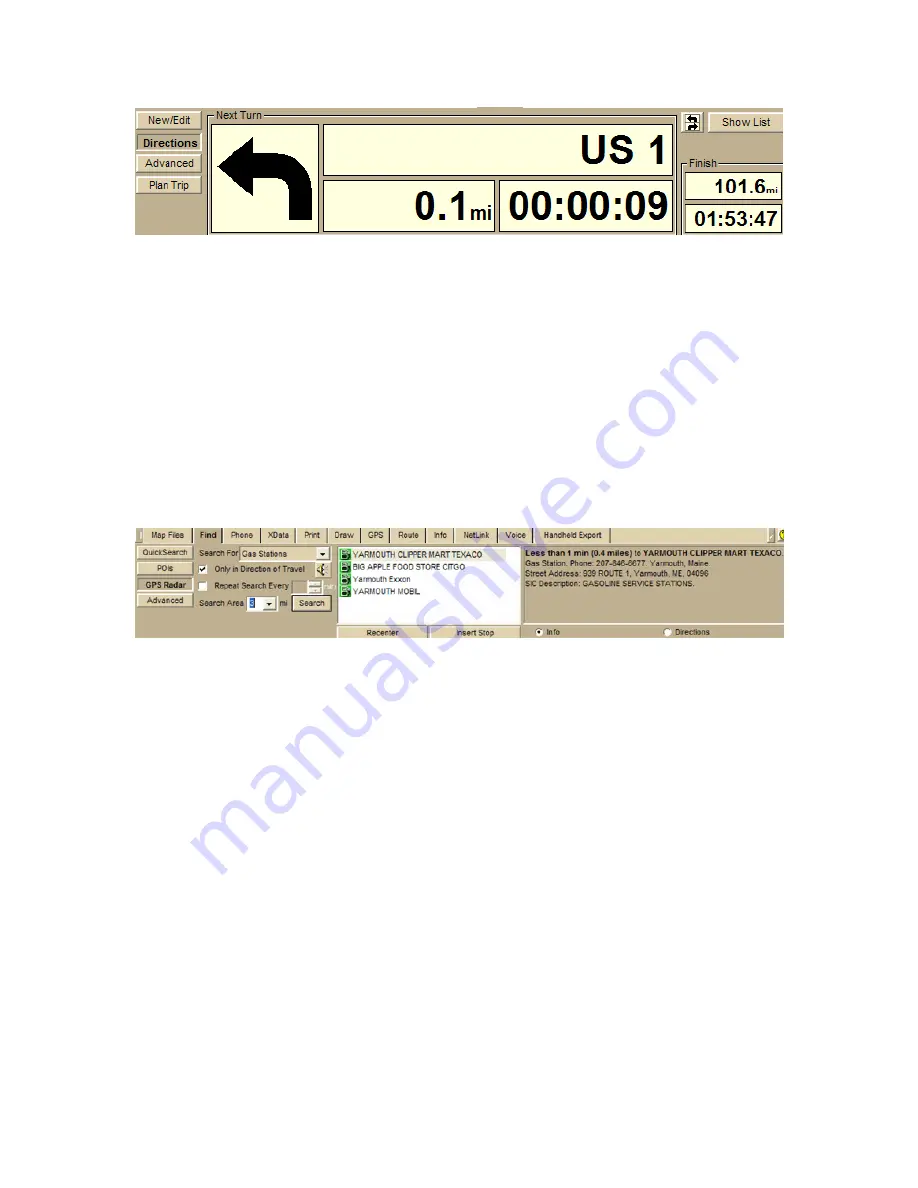
Step 6 — Start driving
Your current position displays on the map as a green/yellow circle — green indicates
a 3-D fix, yellow indicates a 2-D fix — and the computer speaks the route directions.
If you have set up speech recognition software, you can ask the computer questions
like, "What is the next turn?" or "Where am I?" For more information, see Voice
Overview on page 249.
Step 7 — Find points of interest near your location
Running low on gas? Maybe you're hungry and want to find the nearest fast food
restaurant? Click the Find tab and click the GPS Radar subtab to search for your
category of interest.
If you select the Only in Direction of Travel check box, you won't have to back
track to make your next stop; however, if you're driving in a very rural area, the
closest point of interest may be behind you. For more information, see Finding Points
of Interest Near Your Current Location on page 127.
Содержание Street Atlas USA 2009
Страница 1: ...Street Atlas USA 2009 User Guide ...
Страница 2: ......
Страница 44: ......
Страница 56: ...Street Atlas USA 2009 User Guide 44 NavMode in 3 D ...
Страница 70: ...Street Atlas USA 2009 User Guide 58 Step 8 Exit the MapShare Wizard Click Close to exit the MapShare Wizard ...
Страница 74: ...Street Atlas USA 2009 User Guide 62 Step 6 Create your maps Click Next to create the maps ...
Страница 78: ......
Страница 90: ......
Страница 120: ......
Страница 146: ......
Страница 168: ......
Страница 228: ......
Страница 271: ...Using Voice Navigation and Speech Recognition 259 Last leg Approaching finish Off route ...
Страница 272: ......
Страница 290: ......
Страница 294: ......
Страница 298: ......
Страница 376: ......
Страница 388: ......


