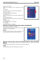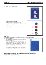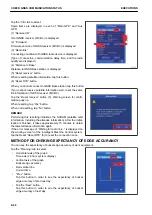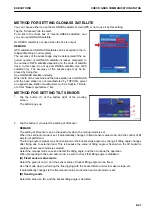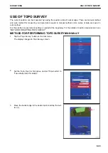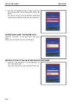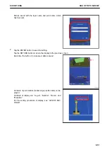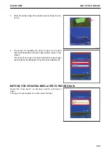
METHOD FOR INPUTTING NEW POSITION DETAILS NAME
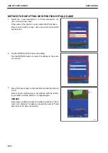
1.
Select the “<new description>” in “Point description” col-
umn, and input any name.
If the name of the point is in a list, select that Point name.
Data is saved with the layer name and point name which
has been set.
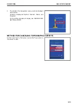
2.
Tap the ENTER button to save the setting.
Tap the RETURN button to return the display to the previ-
ous screen.
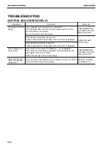
3.
Move the bucket edge to the desired point and tap the but-
ton (1).
Data is saved continuously in accordance with the record-
ing condition until the button (1) is tapped again.
REMARK
Recording condition denotes the setting condition at “Mini-
mum horz. distance” for distance observation and at “Fixed
time interval” for time observation.
USE OF TOPO SURVEY
EXECUTIONS
8-54
Summary of Contents for A31001
Page 12: ...LOCATION OF SAFETY LABELS Options are shown with marks in the figure SAFETY LABELS SAFETY 2 4...
Page 106: ......
Page 107: ...SPECIFICATIONS 5 1...
Page 110: ......
Page 116: ......
Page 117: ...SETTING 7 1...
Page 311: ...EXECUTIONS 8 1...
Page 376: ...PC360LCi 11 PC390LCi 11 HYDRAULIC EXCAVATOR Form No CEAM032703...

