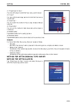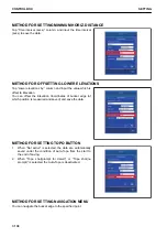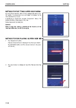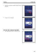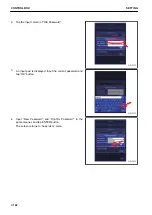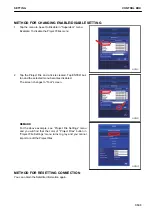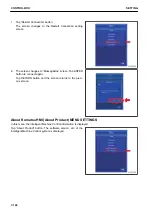
METHOD FOR SETTING AUTOMATIC TOPO SURVEY (TIME BASED)
METHOD FOR SETTING LAYERS
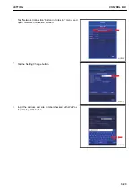
Tap “Project layer for Topo:” column, and select the layer to
which the Topo survey point is saved.
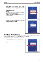
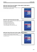
METHOD FOR SETTING BUCKET EDGE
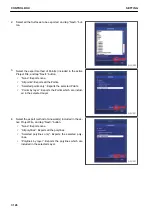
Tap “Log at:” column, and select the bucket edge position for
which Topo survey is performed.
“Bucket:Left”: Bucket edge at left end
“Bucket:Middle”: Bucket edge at center
“Bucket:Right”: Bucket edge at right end
“Left and Right Edge”: Bucket edge at both ends
METHOD FOR SETTING AUTO-TOPO (FIXED TIME INTERVAL)
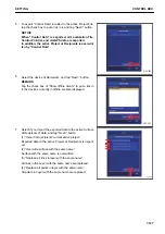
To perform the automatic Topo survey (fixed time interval), tap
“Auto-Topo:” column, and select “Fixed time interval”.
Coordinates of the bucket edge can be saved continuously with
the set time interval.
SETTING
CONTROL BOX
7-137
Summary of Contents for A31001
Page 12: ...LOCATION OF SAFETY LABELS Options are shown with marks in the figure SAFETY LABELS SAFETY 2 4...
Page 106: ......
Page 107: ...SPECIFICATIONS 5 1...
Page 110: ......
Page 116: ......
Page 117: ...SETTING 7 1...
Page 311: ...EXECUTIONS 8 1...
Page 376: ...PC360LCi 11 PC390LCi 11 HYDRAULIC EXCAVATOR Form No CEAM032703...

