CP390i and CPF390i
Page 33
3.1.0 Power On, Off and ShuttlePoint Knob operation
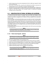
1. Press and hold
[PWR]
until the display shows the Start-Up page (see the following
picture). To turn Off, press and hold
[PWR]
until the display turns Off.
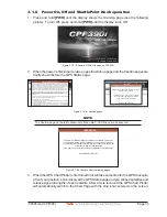
GPS Chart Plotter
CPF390i
Software V16.30 00R
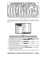
Figure 3.1.0 - Example of Start-Up page on CPF390i
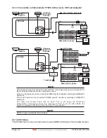
2. When the power is first turned on two pages the start-up page and the Caution pages are
briefly shown before the GPS Status page.
WARNING-LIMITATIONS ON USE
This product, including the C-MAP by Jeppesen charts, is intended to be used only as
an aid to navigation. It should facilitate use of official government charts, not replace
them. Only Official Government Charts and Notices to Mariners contain all the current
information needed for safe navigation. This product’s features cannot be relied on as
complete or accurate and may vary depending on location. It is the captain’s
responsibility to use official government charts, notices to mariners, caution, sound
judgment and proper navigational skills when operating their boat using this product.
This product supports C-MAP by Jeppesen electronic charts. Their use is subject to a
separate Jeppesen Data License Agreement which can also be found at
www.jeppesen.com, where users may also register to receive regular product safety
information.
The built- in C-MAP by Jeppesen background charts of this product contain a limited
version of chart datasets only for general awareness.
By pressing ENTER, you confirm that you:
1. acknowledge the above warning and accept the limitations of this product and the
C-MAP by Jeppesen charts
2. have read the documentation for this product, including its notes, and the Jeppesen
Data License Agreement, and agree to be bound by the terms of the Jeppesen Data
License Agreement.
WARNING
This product contains a limited set of built-in C-
MAP by Jeppesen Charts.
Contact your dealer or Jeppesen for upgrade
options. Register with Jeppesen to receive
regular product safety information.
Press ENTER to proceed.
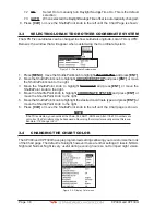
Figure 3.1.0a - Caution pages
NOTE
The Caution page on the left is shown only if the data C-CARD is over one year old.
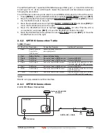
IMPORTANT:
The built-in C-MAP by Jeppesen charts are out-of-date, and may be
unsafe for navigation, which could place you and others at risk. You
are encouraged to contact your local dealer or Jeppesen to update the
built-in charts. Register with Jeppesen
(www.jeppesen.com) for real-time product updates and safety notices.
Press ENTER to proceed .
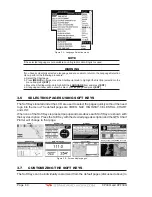
Figure 3.1.0b - Built-In Charts warning pages
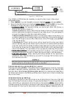
3. When the GPS Chart Plotter is first turned on it will take some time for the GPS to acquire
a fix of your position. Look closely at the GPS Status page and you will see satellites and
relative signal strengths of each satellite. After a fix is received the GPS Chart Plotter
will automatically switch to the Chart Page with the ship icon centered on the screen.
Summary of Contents for CP390i
Page 1: ......
Page 5: ...Page 6 CP390i and CPF390i ...
Page 15: ...Page 16 CP390i and CPF390i ...
Page 29: ...Page 30 CP390i and CPF390i ...
Page 43: ...Page 44 CP390i and CPF390i ...
Page 53: ...Page 54 CP390i and CPF390i ...
Page 67: ...Page 68 CP390i and CPF390i ...
Page 75: ...Page 76 CP390i and CPF390i ...
Page 83: ...Page 84 CP390i and CPF390i ...
Page 87: ...Page 88 CP390i and CPF390i ...
Page 109: ...Page 110 CP390i and CPF390i ...
Page 145: ...Page 146 CP390i and CPF390i Figure 17 16 C Card Restore settings ...
Page 147: ...Page 148 CP390i and CPF390i ...
Page 153: ...Page 154 CP390i and CPF390i ...
Page 157: ...Page 158 CP390i and CPF390i ...
Page 168: ......

