12.5. USING THE PINPOINT-GIS APP
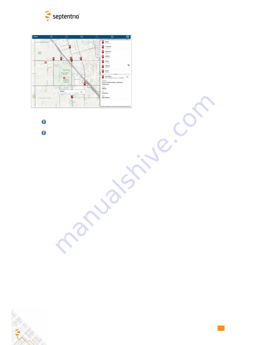
5-Collect data: Using Collector for ArcGIS
•
Keep PinPoint-GIS running in the background (by
clicking the home key in your Android device)
and open the Android GIS application of your
preference (example Collector for ArcGIS)
•
Open the Collector for ArcGIS app, login using the
account details of Step 1 and select the User map
you want to edit.
•
The current location will be shown (if location
overriding is enabled then the GPS accuracy will
be the one from the Altus NR2)
•
Select the ‘+’ sign to add a collection element
A map prepared for collection will have a feature layer attached to the map and ready for
collection (enough permissions). See step 2 for more information.
You can then use the ArcGIS Online toolsets to perform analytics, administration, reports,
web apps and much more:
www.arcgis.com/features/features.html
66
Содержание Altus NR2
Страница 1: ...Altus NR2 User Manual ...
Страница 26: ...5 2 SET UP THE CELLULAR MODEM Figure 5 4 Cellular Status Connected 26 ...
Страница 72: ...14 1 CONFIGURATION Figure 14 2 Save to Boot pop up 72 ...
Страница 78: ...15 2 FRONT PANEL LEDS 15 2 Front Panel LEDs Figure 15 1 Front panel LED behaviour 78 ...


