279
e13_dv40_7e.fm
GPS Function
Continued on next page
??
* Check peripheral area information using “i
エリ
ア
(
周辺情報
) (i-area (peripheral area
information))” after displaying a map based on
the location information. Refer to the NTT
DoCoMo web page for “i
エリア
(
周辺情報
)
(i-area (peripheral area information))” service.
Set the operation that is automatically launched
after positioning the present location by pressing
$
for 1+ seconds.
1
In stand-by, press
t9274
1
and select an action.
2
Press
t
.
1
In stand-by, press
t9274
2
and select Positioning mode.
2
Press
t
.
Start i-
a
ppli compatible with GPS function.
When GPS compatible i-
a
ppli software is used,
location information is sent to the information provider
of the software used.
When GPS function is used on GPS compatible i-
a
ppli,
set Location usage setting of the software used to
Send
.
1
In stand-by, press
t9272
.
GPS compatible i-
a
ppli list appears.
2
Select software and press
t
.
GPS compatible i-
a
ppli starts.
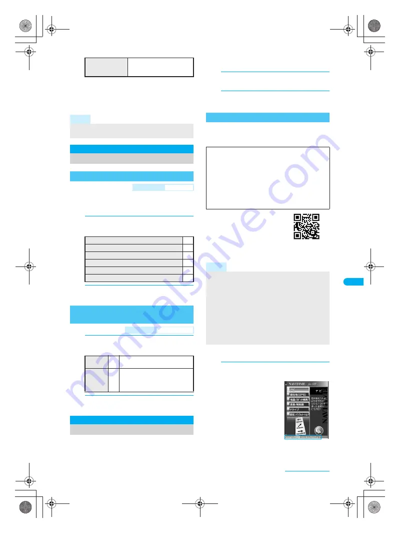
Use preset “NAVITIME for SH” to search a
destination, position the present location and be
guided with voice navigation.
If you have deleted the preset
“NAVITIME for SH”, download it
from the iMenu site,
SH-MODE
.
iMenu
→
メニュー/検索
(Menu/Search)
→
+
ケータイ電
話メーカー
(Mobile phone
manufacturer)
→
SH-MODE
※
SH-MODE is only available in Japanese.
J
Starting the software
1
In GPS compatible i-
a
ppli list screen,
select
NAVITIME for SH
and press
t
.
A confirmation screen for
using the service
appears. Terms of use
and notes regarding use
are described. If
次回以
降表示しない
is
checked, the
confirmation screen does
not appear next time.
During the trial service
period, the full function
available period (end
date of trial service period) is displayed at the
bottom of the menu screen.
To add location
information to image
5
→
select folder
→
t
→
select image
→
i
→
1
[Save new]/
2
[Overwrite]
Note
Change sound/volume/LED color for Position
location. (
n
P. 118, P. 120, P. 140)
Set Position Loc.
Setting Position Location
Setting GPS Key
<GPS Button Setting>
Default setting
Read a Map
To display a map based on location information
1
To use GPS compatible i-
a
ppli
2
To paste LocationURL to i-mode mail
3
To save location information to phonebook
4
To add location information to image
5
To select an action on every positioning
6
Setting Positioning Mode for
Positioning Location
<Positioning Mode>
Default setting
Standard mode
Standard
mode
1
Prioritizes the speed of
positioning location.
Quality
mode
2
Performs positioning with longer
time. As a result, more accurate
positioning is performed than in
Standard mode.
Using GPS Compatible i-
a
ppli
Using “NAVITIME for SH”
Use this appli for 90 days from the first-time use as a
trial period. All the functions of “NAVITIME for SH” can
be used for free*. The trial service automatically ends
after 90 days. Some functions are available after the
period. For details on the functions with trial use,
check
利用制限について
of
設定
/
インフォメーション
of Main menu. This appli is available until December
31, 2009. This period is subject to change.
*
Packet transmission charges are incurred for
transmissions.
Note
Note that there is no guarantee for the accuracy and
immediacy of the information such as a map, route
guide and route.
When using “NAVITIME for SH”, drive or walk according
to the actual traffic regulations. Do not operate the phone
or check the screen when driving and walking.
“NAVITIME for SH” should be used by someone
other than the driver.
Note that DoCoMo does not take any responsibility for
the car accident that occurs when you operate the phone.
Reproduction, duplication and alteration of a map,
etc. are prohibited.
QR code to connect
to SH-MODE
©NAVITIME JAPAN
dv40̲e.book 279 ページ 2006年10月11日 水曜日 午前8時31分


