Street Atlas USA
®
2010 User Guide
46
Tutorial: Route with XData Points
This Help topic describes functionality that is available only in
Street Atlas USA Plus.
Once you import an XData dataset, you can use the data to create a route.
Step 1—Import the dataset
Import the dataset into the XData tab. For more information, see
Importing Data
.
Step 2—Create a route
Assign the Start and Finish points of the route. You can assign the Start and Finish using the
Route options on the toolbar, right-click functionality, or the Route tab. For more
information, see
Creating a Route
.
Step 3—Select records to include as stops
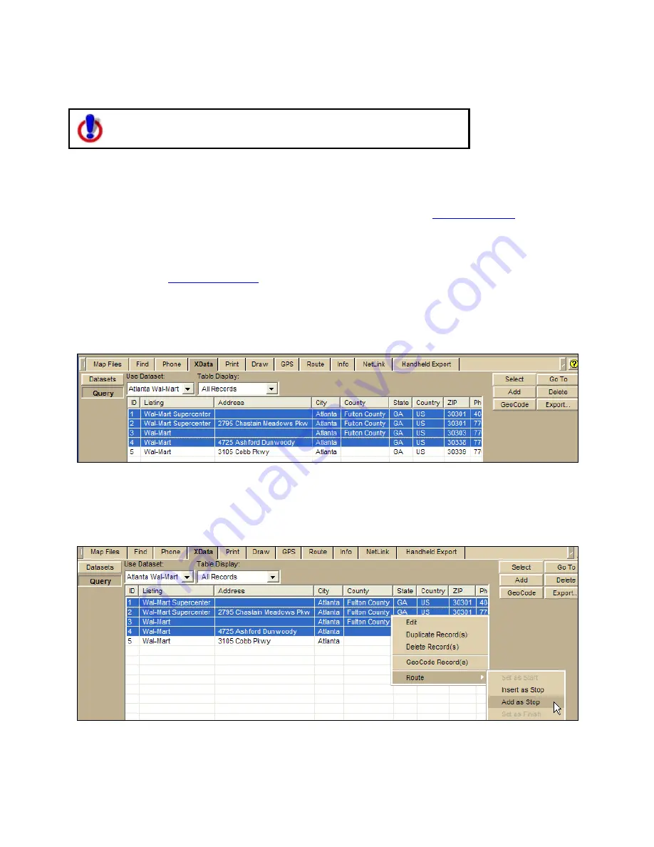
Click the Query tab and select the records that you want to include as stops in the route.
Note To select multiple records at once, press and hold the CTRL key on your keyboard
while you select the individual records.
Step 4—Add Stops to route
Right-click the selected record(s), point to Route, and then click Add Stop (to add the stops
in the order they were selected in the table) or Insert Stop (to add the stops in
geographical order).
Note Use the Advanced subtab in the Route tab to reorder multiple stops.
Содержание Street Atlas USA
Страница 2: ......
Страница 10: ......
Страница 33: ...Getting Started 23 GeoTagger Print Print Screen ...
Страница 34: ......
Страница 58: ......
Страница 100: ......
Страница 112: ......
Страница 126: ......
Страница 198: ......
Страница 214: ......
Страница 230: ......
Страница 232: ......
Страница 260: ......


