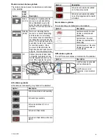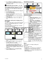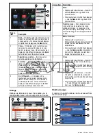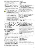
Pairing the keypad
The keypad can control 1 or more multifunction
displays. Multiple keypads can be connected to a
system. Each keypad can be paired with up to 4
multifunction displays.
With the keypad connected to the multifunction
display:
1. Select
External Keypad
from the External
Devices menu:
homescreen > Set-up > System
Settings > External Devices > External
Keypad
.
2. Select
Pair Keypad
.
3. Press any button on the external keypad.
4. From the pop-up message select the orientation
of the keypad.
Either landscape or portrait orientations are
available.
The keypad is now paired.
Unpairing the keypad
The keypad can be unpaired from an individual
display.
1. Select
External Keypad
from the External
Devices menu:
homescreen > Set-up > System
Settings > External Devices > External
Keypad
.
2. Select
Clear Pairings
.
3. Select
Yes
to unpair the keypad with the display.
6.14 GPS Status
The GPS status page enables you to view the status
of the available satellites that are compatible with
your receiver.
The satellite constellations are used to position your
vessel in the Chart and Weather applications. You
can set up your receiver and check its status from
the GPS Set-up menu:
Homescreen > Set-up >
System Settings > GPS Set-up
. For each satellite,
the screen provides the following information:
1
2
3
D13122-1
1.
Sky view
2.
Satellite status
3.
Position and fix information
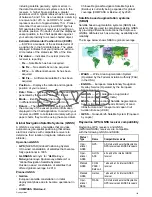
Sky view
Sky view is a visual representation that shows
the position of navigation satellites and their type.
Satellite types are:
•
Circle
— A circle identifies a satellite from the
GPS constellation.
• *
Diamond
— A diamond identifies a satellite from
the GLONASS constellation.
•
Square
— A square identifies an (SBAS)
differential satellite.
Note:
GLONASS satellites are only available
when connected to a compatible receiver such as
the built-in receiver of an a9x or a12x MFD.
Satellite status area
The Satellite status area displays the following
information about each satellite:
•
Type
— Identifies which constellation the satellite
belongs to.
•
ID
— Displays the satellites identification number.
•
CNO
(Carrier-to-noise ratio) — Displays the signal
strength of each satellite shown in the Sky view:
– Grey = searching for satellite
– Green = satellite in use
– Orange = tracking satellite
•
Azimuth and Elevation
— Provides the angle of
elevation and azimuth between the location of the
receiver and the satellite.
Position and fix information
The following positional and fix information is
provided:
•
Horizontal Dilution of Precision (HDOP)
— HDOP is a measure of satellite navigation
accuracy, calculated from a number of factors
104
a Series / c Series / e Series
Содержание c125
Страница 2: ......
Страница 14: ...14 a Series c Series e Series ...
Страница 41: ...13 GPS receiver 14 Thermal camera 15 Wireless connection Planning the installation 41 ...
Страница 48: ...48 a Series c Series e Series ...
Страница 80: ...80 a Series c Series e Series ...
Страница 118: ...118 a Series c Series e Series ...
Страница 184: ...184 a Series c Series e Series ...
Страница 185: ...Chapter 13 Man Overboard MOB Chapter contents 13 1 Man overboard on page 186 Man Overboard MOB 185 ...
Страница 188: ...188 a Series c Series e Series ...
Страница 191: ...Chapter 15 Fuel manager Chapter contents 15 1 Fuel manager overview on page 192 Fuel manager 191 ...
Страница 206: ...206 a Series c Series e Series ...
Страница 228: ...228 a Series c Series e Series ...
Страница 290: ...290 a Series c Series e Series ...
Страница 310: ...310 a Series c Series e Series ...
Страница 340: ...340 a Series c Series e Series ...
Страница 374: ...374 a Series c Series e Series ...
Страница 422: ...422 a Series c Series e Series ...
Страница 436: ...436 a Series c Series e Series ...
Страница 462: ...462 a Series c Series e Series ...
Страница 463: ......
Страница 464: ...www raymarine com ...


