Doc. P/N: WSP-009-005
Version: V1.5
Issue Date: October 2013
www.wassp.com
Page 57 of 73
Installation Manual
10.2.7.2
Manual Roll Patch Test
Use the local chart and local knowledge to identify a spot for the roll patch test – ideally
a flat area between 20-40m – shallower than 10m will make it hard to get an accurate
reading.
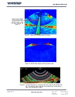
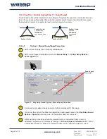
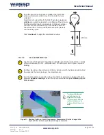
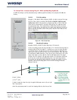
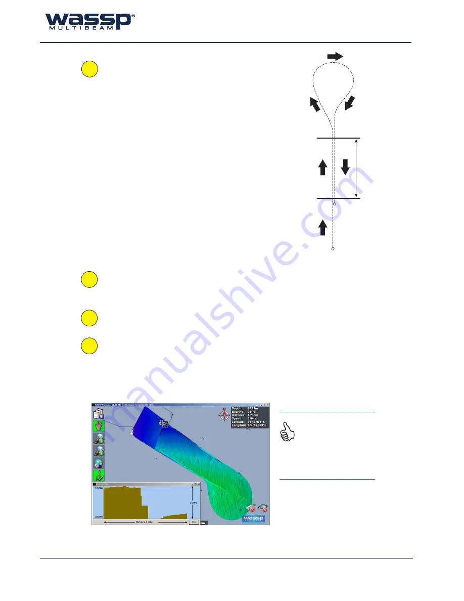
Run the ship along a line in direction A (it may help to run with the tide and wind behind
the vessel as the return journey is the important one).
Turn the ship and make a return journey B so that the same area is mapped but which
the exact
opposite heading
is used. It may help to use the Navigator
Heading Up
and
COG
functions.
Travelling with the tide/wind/
swell (whichever has the
biggest effect on the ships
course over ground if they are
in different directions) on the
first pass will make things much
easier.
Figure 51. Showing Path A and path B overlapping. Measurement D is the change in the
depths (2.29m in this case) between the edges of swaths.
200m+
Start
Finish
Turn
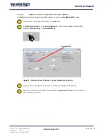
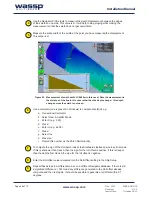
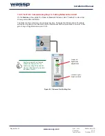
Once the second run has been completed, the Patch Test
window will calculate a Roll Value from the data that was
collected.
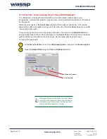
In addition to the result itself, the Patch Test also calculates a
validity
value which represents the confidence of the software
that the calculated result is appropriate. Validity percentages
over 80% are recommended. If you are unable to achieve
a result over 80%, this may indicate an issue with previous
commissioning steps.
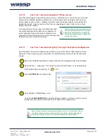
Click ‘
Use Result
’ to apply the calculated roll value.
1
2
3
4

