www.javad.com
140
Localization
Under the Surveyed CS, I’ve selected NAD83(2011)/NAVD88,
a coordinate system I assembled from HOME>COORD.
SYS. With this done I can add a point to the Survey side by
pressing the “Add” button on the right side. This opens the
“Add Surveyed Point” screen that offers the user the option
to survey a point, recall a point from the list or recall a point
from the Map. Here the user has two options:
Relate the origin to the Geographic Coordinates of a
physical point
Relate the origin to an unmonumented Geographic
position.
If surveyed coordinates to a physical point are to be used,
the user should be careful to note that the geodetic
accuracy of this point will depend entirely on the basis of
this coordinate. Is the position determined from a fixed
solution RTK position? If so, is the base accurately related
to a geodetic position? If the answer to either of these
questions is “no”, then the geodetic accuracy of this point
will be low, perhaps only as good as a few meters.
If an unmonumented Geographic position is to be used, the
position, both horizontally and vertically, should be carefully
selected to ensure its close proximity to the project.
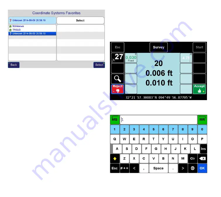
In this example I’ve occupied a physical point, a survey nail,
with the rover with a fixed RTK solution to a base occupying
a point with known coordinates.
and named the surveyed point “1”
Now, the Design Coordinate needs to be entered. I’ve
Summary of Contents for TRIUMPH-LS
Page 1: ...U S E R S G U I D E TO T H E T R I U M P H L S E Version 20160121 ...
Page 17: ...www javad com 17 Introduction ...
Page 39: ...www javad com 39 Collect Screens ...
Page 59: ...www javad com 59 Stake Out Points ...
Page 91: ...www javad com 91 Stake Out Alignments ...
Page 93: ...www javad com 93 Using ShapeTags and Codes Data Structure ...
Page 105: ...www javad com 105 Using ShapeTags and Codes ...
Page 149: ...www javad com 149 Localization ...


