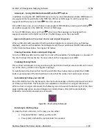
SV-MAP-270 Navigation Mapping Software
SkyView Classic Pilot’s User Guide –
Revision Z
7-81
•
Metar Icons
–
Turns the ability to depict airports as color-coded Metar icons on or
off.
•
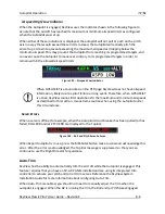
NEXRAD
–
Turns the ability to display NEXRAD imagery on and off.
•
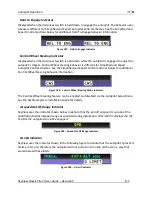
METAR/TAF Text
–
Sets whether the METAR and TAF reports that are displayed are
in their raw form, or are decoded per FAA standard abbreviations. Reports that use
non-standard codes (such as those used by military installations) will be shown in
their raw textual format.
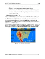
Displaying NEXRAD Weather / TFRs
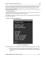
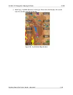
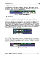
When an SV-ADSB-470/472 is connected and configured, MAIN MENU > MAP > LAYERS opens
the layers menu that allows you to depict weather on top of any of the other layers. Pushing
the WEATHER button will toggle the NEXRAD overlay to be displayed, or not displayed.
To see an animated sequence of the last few NEXRAD pages received, push and hold the
WEATHER button. (The SV-ADSB-470/472 must have been running for a long enough period to
gather successive NEXRAD pages).
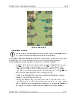
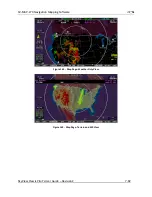
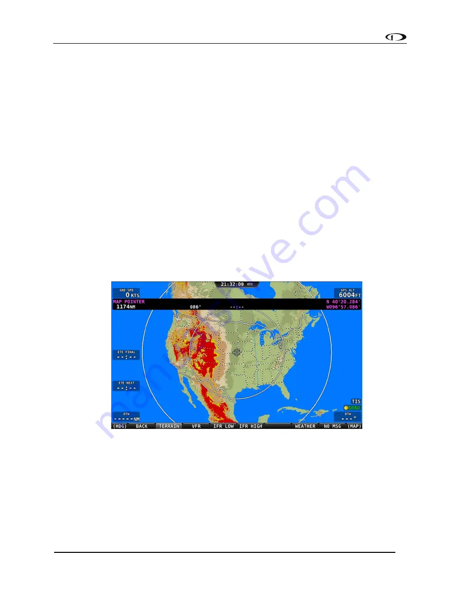
Terrain highlighting is always displayed, but in muted tones, to allow the NEXRAD weather / TFR
graphics to stand out. Weather information is partially transparent to allow chart information
to remain visible. Other databases (aviation, obstacles, base map, etc.) are always displayed.
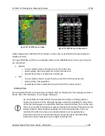
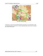
Figure 160
-
Map Page: Terrain View (no Weather)

