SV-MAP-270 Navigation Mapping Software
SkyView Classic Pilot’s User Guide –
Revision Z
7-31
shown when an aircraft is maintaining altitude, or if climb/descend information is
not available. Traffic from TIS traffic sources such as the SV-XPNDR-26X will not
show a vertical speed component unless it is greater than +/-500 fpm
•
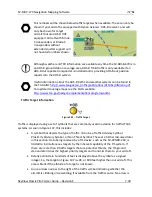
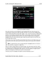
If available from the traffic device, an orange vector arrow that starts at the target
and points in the aircraft’s direction of travel. This length of the vector represents
where the aircraft is expected to be in one minute based on its current trajectory.
o
The data received by a TIS device (such as the SV-XPNDR-26X) does not include
the speed of aircraft since it is not sent by the ground-based TIS equipment.
SkyView therefore assumes that all TIS targets are travelling at 150 knots.
o
TIS additionally only provides the direction that individual traffic targets are
moving in to the nearest 45° increment (0 °, 45°, 90°, etc.). This limitation may be
noticed as a seemingly abrupt change in aircraft direction on the display as the
traffic direction “snaps” from one 45° increment to the next when the TIS device
updat
es an aircraft’s direction.
Traffic displayed on the Map Page can be configured to include just Traffic
Advisories (TA), all targets, or no targets. See the SkyView System Installation Guide
for information on how to configure how traffic is displayed.
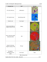
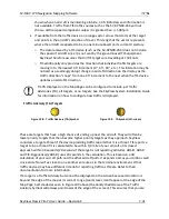
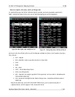
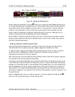
Traffic Advisory (TA) Targets
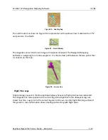
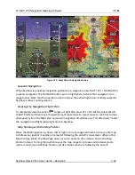
Figure 108
-
Traffic Advisory (TA) Symbol
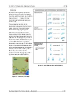
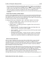
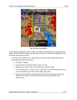
Figure 109
-
TA Symbol (off-screen)
These are targets that have a high chance of ending up near the aircraft. They will often be
lower priority targets that then become higher priority targets as they approach. SkyView
considers a target a threat if the device providing traffic reports that it is a threat. TIS reports a
target to be a threat if it is calculated to be within 1/4 mile of your aircraft at its closest
approach within 30 seconds (20 seconds if the target is not reporting altitude). ADS-B, ADS-R
and TIS-B (generically ADS-B) uses 20 seconds in the calculation. This is based on a 3D
calculation of your aircraft path and the other aircraft path. It expands a bit as you climb as well
since aircraft aren't as close to one another enroute as in the terminal environment. Other
traffic devices may have different criteria for reporting traffic as threats. Refer to their
documentation for more information.
If a target is a Traffic Advisory but cannot be displayed on the screen because its location is
beyond the edge of the map at its current range (zoom) level, it will appear at the edge of the
Map Page, half shaded as seen in Figure 109 above (the darkly shaded area of the Traffic
Advisory Symbol will always point towards the edge of the screen). This ensures that you are

