SV-MAP-270 Navigation Mapping Software
SkyView Classic Pilot’s User Guide –
Revision Z
7-27
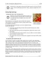
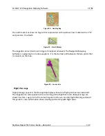
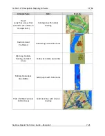
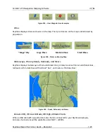
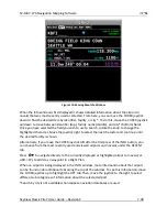
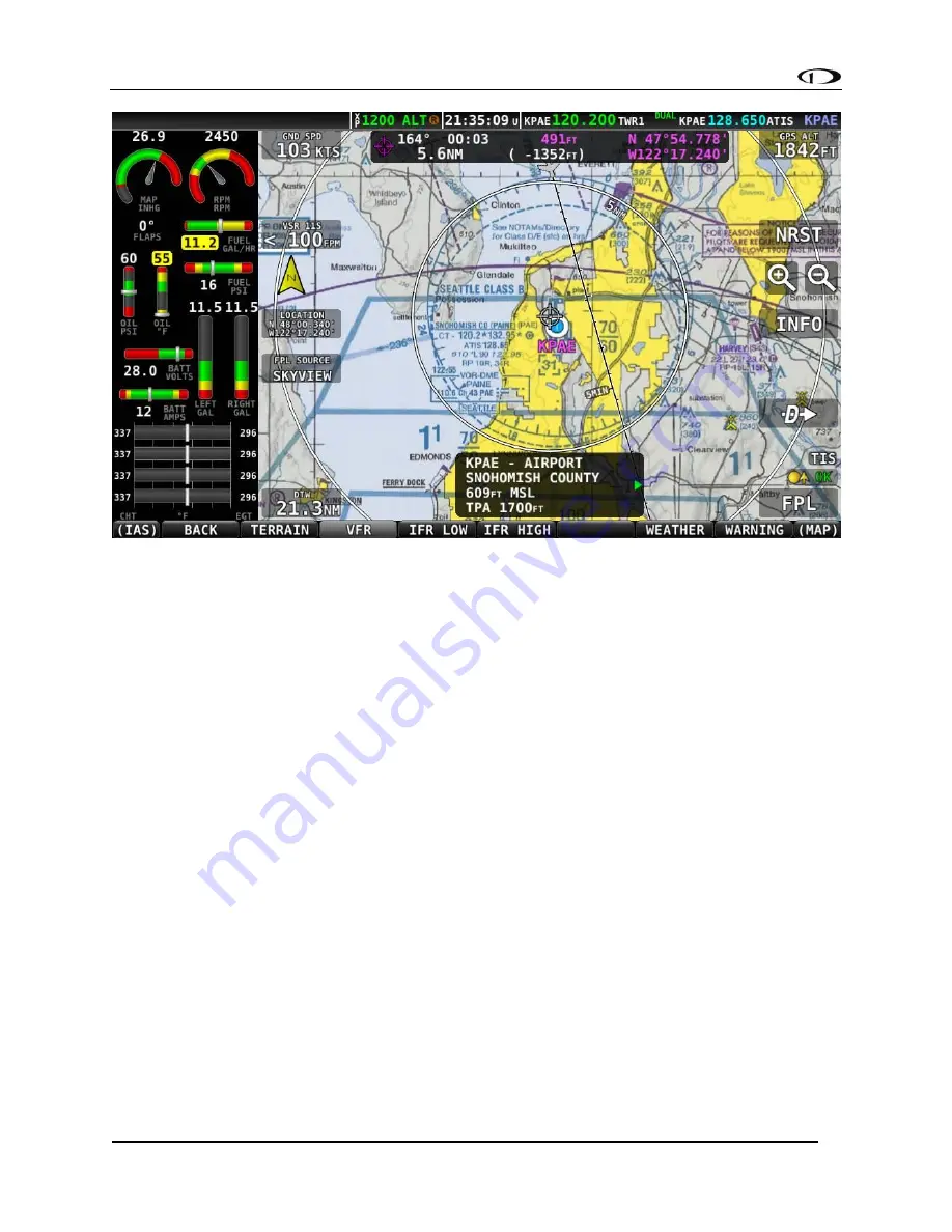
Figure 105
-
VFR Chart with Airport selected
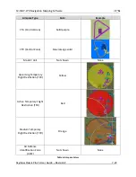
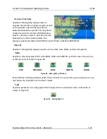
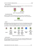
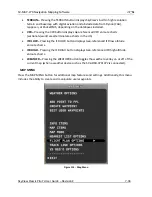
Customizing Displayed Map Items
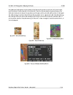
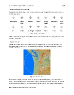
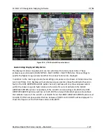
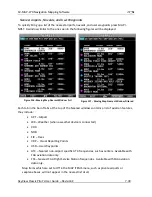
The display of various map elements can be customized to reduce visual clutter. These
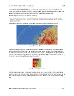
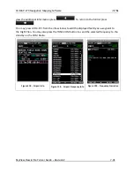
preferences are located in MAIN MENU > MAP > MENU > MAP ITEMS. Use these settings to
specify the highest range (zoom) level that the various features are displayed.
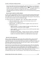
In addition to the max range (zoom) level settings, airspaces can be shown or hidden based on
two more filters. First, SkyView will not display airspace sectors above the altitude chosen (in
feet) in the HIDE AIRSPACES ABOVE option. Second, SkyView will only show airspace sectors
within the chosen range (in feet) relative to the aircraft’s current altitude in the SHOW
AIRSPACES WITHIN option. For example, if the aircraft’s service ceiling is 20,000 ft, the HIDE
AIRSPACES ABOVE option would be set to 20,000 ft and would hide all airspace sectors above
that altitude. Second, if the aircraft is at 10,000 ft and the SHOW AIRSPACES WITHIN value is set
to 3,000 ft, ONLY airspace sectors that are between 7,000 ft and 13,000 ft will be displayed. To
show all airspaces, set both of these values to 99,999 ft.

