SV-MAP-270 Navigation Mapping Software
SkyView Classic Pilot’s User Guide –
Revision Z
7-76
▪
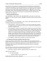
The remaining estimated time enroute to the next waypoint in the flight
plan. If GPS ground speed is <25 knots, the Plan Ground Speed setting (MAP
MENU > MAP MENU > FLIGHT PLAN OPTIONS) is used so that you can see
approximate travel times while on the ground. Display switches from hh:mm
to mm:ss automatically.
o
GPS Altitude:
▪
The current GPS altitude. Note that this is MSL, not AGL. This number may
differ significantly from your barometric (indicated) altimeter due to
variations in the GPS data model, GPS accuracy, and nonstandard variations
in outside pressure.
o
Ground Speed:
o
Next Course:
▪
The direction from the next waypoint to the waypoint after that in a flight
plan.
o
Next Waypoint
o
Course:
▪
The direction from the previous waypoint to the next waypoint.
o
VS REQ'D DESTINATION
:
▪
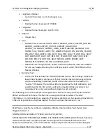
Vertical Speed Required to Destination shows the vertical speed necessary to
descend from the current position and altitude to a defined target position
and altitude above and before your final waypoint at the current ground
speed. This information is also displayed as a magenta line on the vertical
speed indicator.

