18
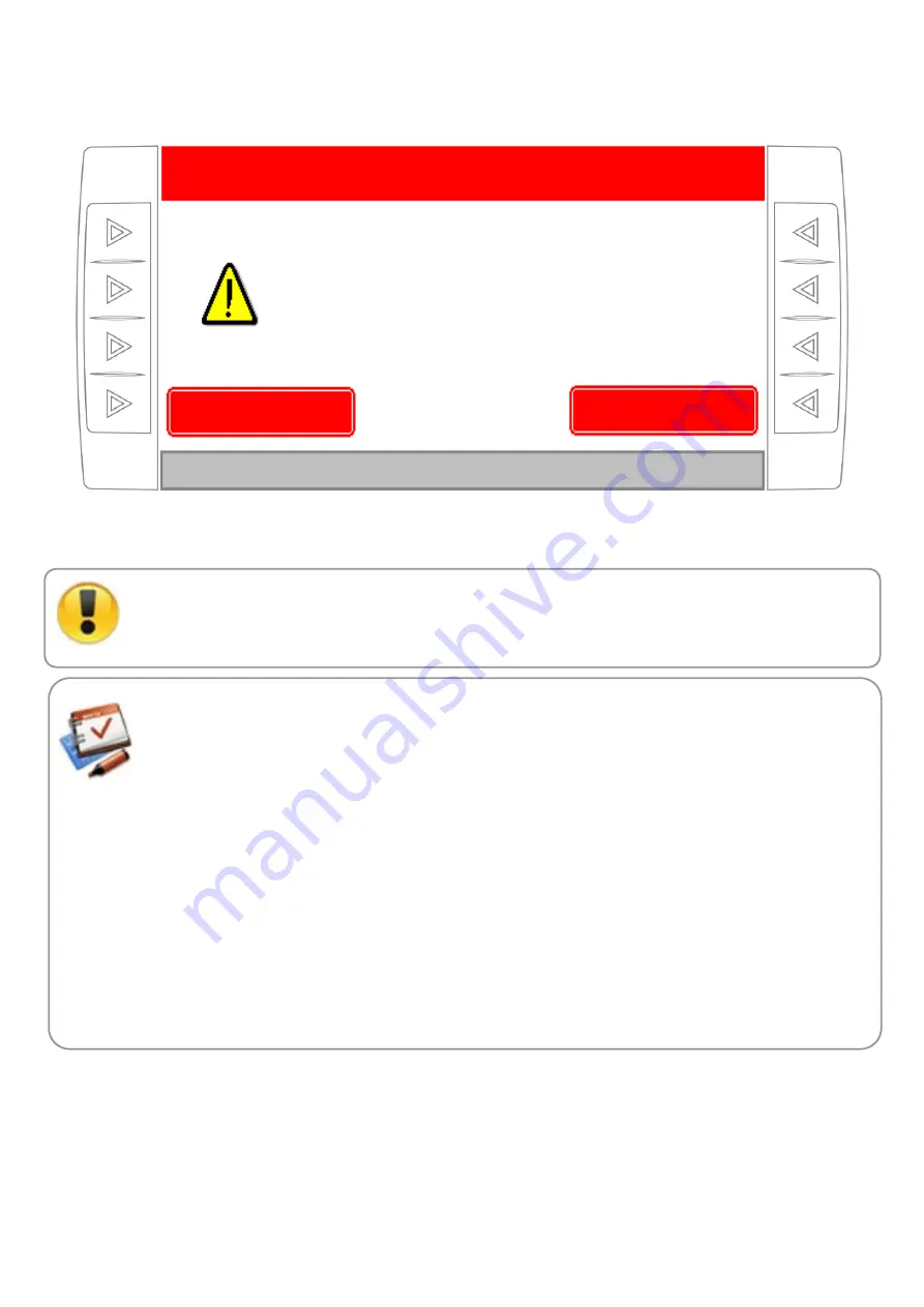
Figure 9. Confirmation to continue working on a previous map register. The geo-referenced job register file already exists
in the SD memory card. User’s confirmation is needed to continue adding data to the same file o the file has to be deleted
and create a new one.
If a mapping file already exists for the selected plot and “No (create a new file)” option is selected,
all selected plot’ stored mapping data will be cleared. If these data is useful, is necessary to make a
corresponding copy of the file of
PLOTnn.TXT
onto the pen-drive before selecting that option. This
procedure is explained in detail later.
The
PLOTnn.txt
file corresponding to the mapping of the job done is a simple text file with
commas separated value (CSV), which can be processed with any GIS software or spreadsheet.
The stored data for each point are as follows:
LATITUDE, LONGITUDE, TIME, SPEED, FERT1, FERT2, SEEDS,ROW 1 DENSITY ROW
2 DENSITY, … LAST ROW DENSITY
LATITUDE (first column).
Latitude of the point in decimal degrees.
LONGITUDE (second column).
Longitude of the point in decimal degrees.
TIME (third column).
Moment of application, in HH:MM format.
SPEED (fourth column).
Job speed, in Km/h (GPS).
FERT1 (fifth column).
Fertilizer 1 rate applied, in Kg/Ha.
FERT2 (sixth column).
Fertilizer 2 rate applied, in Kg/Ha.
SEEDS
(
seventh column
). Rate of planted seeds, in seeds/m.
ROW 1 DENSITY (eighth column).
Seeds quantity sowed in the last 10 meters, on the first row.
ROW 2 DENSITY (ninth column).
Seeds quantity sowed in the last 10 meters, on the second row.
And so forth…
LAST ROW DENSITY (last column).
Seeds quantity sowed in the last 10 meters, on the last row.
Select "Yes" to continue adding data to a previous file.
Select "No" to clear the file and create a new one automatically.
JOB REGISTER
Yes (continue with
previous file)
No (create a new file)
At this moment, a file from the disk has been selected.
You can continue working on it, or clear it and create a new one.
Do you wish to continue adding data to a previous file?


