Chapter 6 RA83/84/85/93/94/95 Series
Using The Menu
Operation Manual
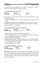
6.1.5 Cursor Position
Indication
Meaning
CURSOR T BRG
Cursor True or Relative(R) Bearing indication
RNG
Cursor
Range
LAT
Cursor
Latitude
LON
Cursor
Longitude
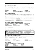
NOTE:
To use this function the heading and latitude/longitude data must be supplied from
the gyro/log interface unit KSA-08A and a GPS or Loran-C navigator unit.
When no bearing data is entered from the gyrocompass, the latitude and longitude
display will turn to “XXX.XX.XXX”.
The position data may deviate when a navigator unit is used in latitude above 70
degrees.
CAUTION:
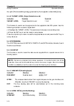
[Data Indication]
OWN SHIP DGPS
Own Ship Information (Input Device Name)
(Select with DATA DISP key)
LAT
Latitude/
COG
/
LOP1
LON
Longitude/
SOG
/
LOP2
WP
RT01 DGPS
Waypoint Information/Route Name/Input Device
LAT
Latitude/Bearing
LON
Longitude/Range
XTE
Cross Track Error
DEPTH K (W)
Depth
NOTE: K means the depth from the Keel, W means the depth from Water surface.
WATER TEMP
Water
Temperature
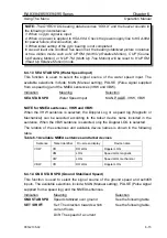
6.1.6 Vector Time
The vector indication mode can be set with the TRUE/REL key. A vector time can be
set from the following menu.
Indication Meaning
Selection
TRUE (REL) VECT
Vector
Indication
Time
OFF, 30SEC, 1MIN,
3MIN, 6MIN, 12MIN,
30MIN,
60MIN
6-4
93142105-02

