16-53
FOR TRAINING PURPOSES ONLY
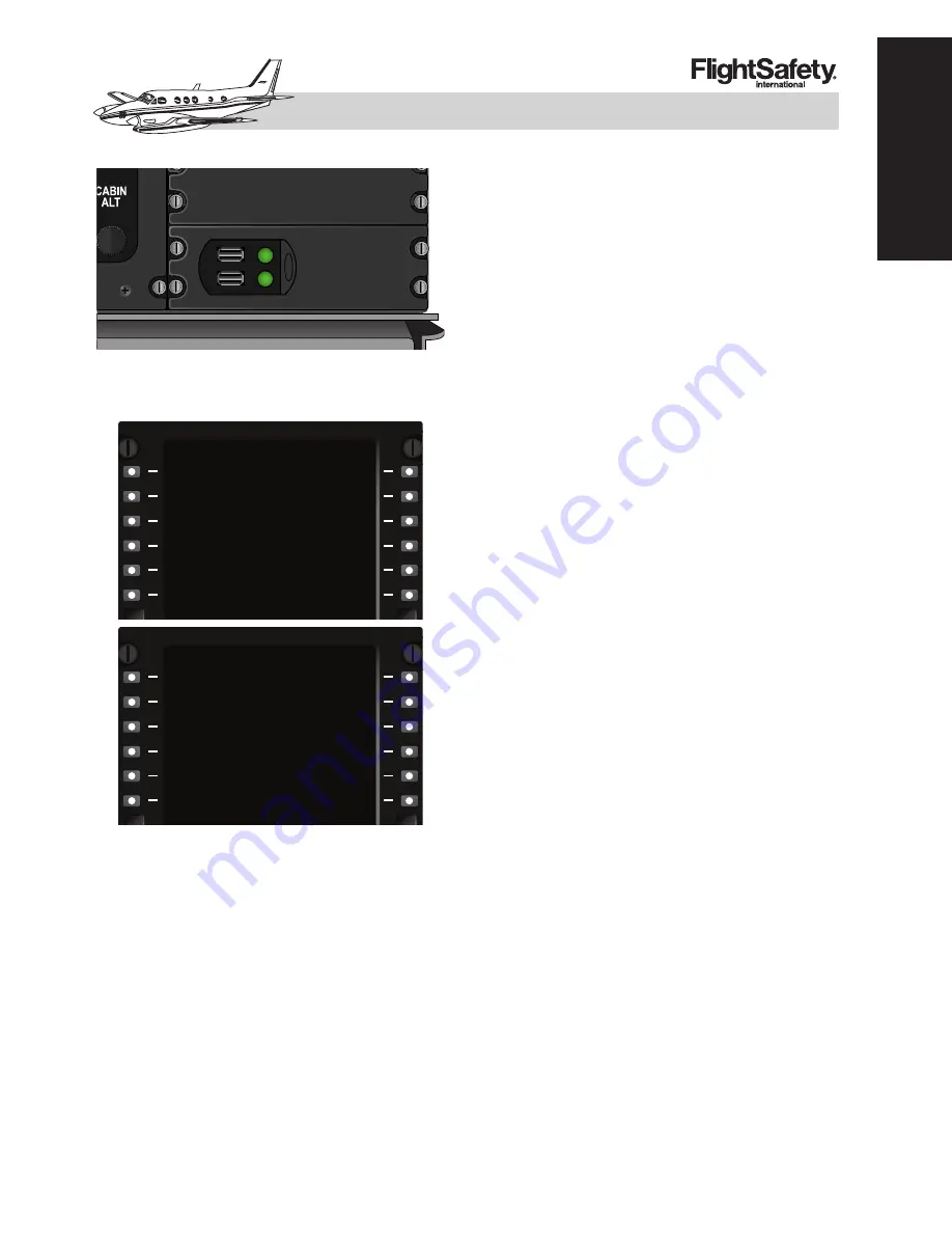
Figure 16-9
2
. USB Database Unit
(DBU-5000)
Figure 16-93. MCDU Menu
CURSOR CONTROL PANEL (CCP)
The primary pilot interface with the IFIS sys-
tem is accessed through the Cursor Control
Panel (CCP) located on the pedestal (Figure
16-95). The left most section is used to enter
and manipulate menus that appear on the
MFD. The center section is used to store MFD
display options to more quickly retrieve a de-
sired display setup. The right most section con-
tains a joystick and input buttons to control
the E-Charts and downloaded weather.
The memory keys are used to store the main
MFD line select key format options. They do
not store IFIS related map selections such as
E-Maps or E-Charts. The selected Upper For-
mat, Lower Format, Terrain or Radar, and
TCAS options are stored. When the appropri-
ate selections are made, press and hold the de-
sired memory key until STORE is indicated
on the MFD. Releasing the memory key will
display a STORE COMPLETE (Figure 16-
96). This can be repeated for each of the three
memory keys. To retrieve the selected options
press and release the desired memory key and
the MFD will change to the stored settings.
Enhanced Maps (E-MAPS)
The IFIS system contains Collins provided
data with certain enhanced map features.
These include geographic/political boundaries,
airspace and airways (high and low).
The following menu selection may also con-
tain a MAP SOURCE option. This is not re-
lated to the IFIS installation but is active with
a dual FMS configuration. Either FMS can be
chosen to display the FMS course. this does
not affect the display of overlay selections. In
cases where the on-side FMS has failed, this
selection can be used to select the other FMS
for course line imagery on the MFD. Note that
this feature does not change the active FMS
used for navigation. That is still chosen from
the PFD.
The geographic/political option (GEO-POL)
will overlay state and country boundaries on
the MFD display. The location of international
boundaries on the overlay must not be used as
an accurate representation of true boundary
position. The GEO-POL overlay should only
be used for information. This overlay is ac-
cessed by pressing the MENU button on the
CCP when a PPOS map or PLAN map is in
view on the MFD. Moving the cursor to the
EXEC
MSG
INDEX
<STATUS
[
[
FIX>
GPS POS>
<POS INIT
<VOR CTL
<GPS CTL
HOLD>
PROG>
<FMS CTL
SEC FPLN>
1/2
<MCDU MENU
FREQUENCY>
EXEC
MSG
MCDU MENU
<DBU
[
[
GPS POS>
<FMS 1
KING AIR C90GTi/C90GTx
PILOT TRAINING MANUAL
16
A
VIONICS
Summary of Contents for C90GTi
Page 5: ......
Page 7: ......
Page 9: ......
Page 11: ......
Page 13: ......
Page 45: ......
Page 47: ......
Page 49: ......
Page 87: ......
Page 89: ......
Page 97: ......
Page 99: ......
Page 101: ......
Page 113: ......
Page 115: ......
Page 117: ......
Page 139: ......
Page 141: ......
Page 193: ......
Page 195: ......
Page 203: ......
Page 205: ......
Page 207: ......
Page 215: ......
Page 217: ......
Page 219: ......
Page 241: ......
Page 243: ......
Page 259: ......
Page 261: ......
Page 263: ......
Page 277: ......
Page 279: ......
Page 281: ......
Page 283: ......
Page 285: ......
Page 311: ......
Page 313: ......
Page 315: ......
Page 323: ......
Page 333: ......
Page 437: ......
Page 439: ......
Page 441: ......
Page 443: ......
Page 467: ......
Page 471: ......
Page 483: ......
Page 485: ......
Page 487: ......
Page 491: ......
Page 493: ......
Page 495: ......
Page 515: ......
Page 517: ......
Page 519: ......
Page 521: ......
Page 547: ......
Page 555: ......
Page 557: ......


