10
Task management (ISOBUS-TC)
Using fields and shp data
70
V9.20191001
30322538-02-EN
Icon
Function
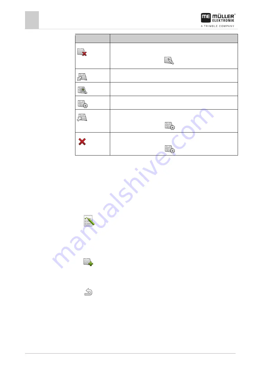
Deletes the field.
Icon only appears when you tap
.
Enables the import of field data.
Displays the loaded prescription map.
Displays the imported field data.
Enables the export of field data.
Icon only appears when you tap
.
Deletes the selected data.
Icon only appears when you tap
.
What is field data for?
All field properties that are stored in this way can be used when working in TRACK-Leader. To do so,
you must activate the field to be processed in ISOBUS-TC before each navigation.
Creating fields
To create a new field:
1.
- Open the ISOBUS-TC application.
2.
Tap “Fields”.
⇨
A list with already created fields appears. You can store various field data for each field. For
example: Field name, area, field boundary, prescription map and obstacles. You can access
this data when you work on the same field in the future.
3.
- Create a new field.
⇨
A form for entering the data appears.
4.
On the topmost line, enter a field name.
5.
- Exit the screen.
⇨
You will be asked whether you want to save the changes.
6.
Confirm.
⇨
A list of created fields appears. The new field appears at the bottom end. Each field is given a
clear PFD number. The fields are sorted according to these numbers. The numbers can be seen
in the field list above the respective field name. Moreover, you can see the number in the header
when you open the field.
10.3.1
Purpose
10.3.2
Procedure


