18.13 Cartography objects
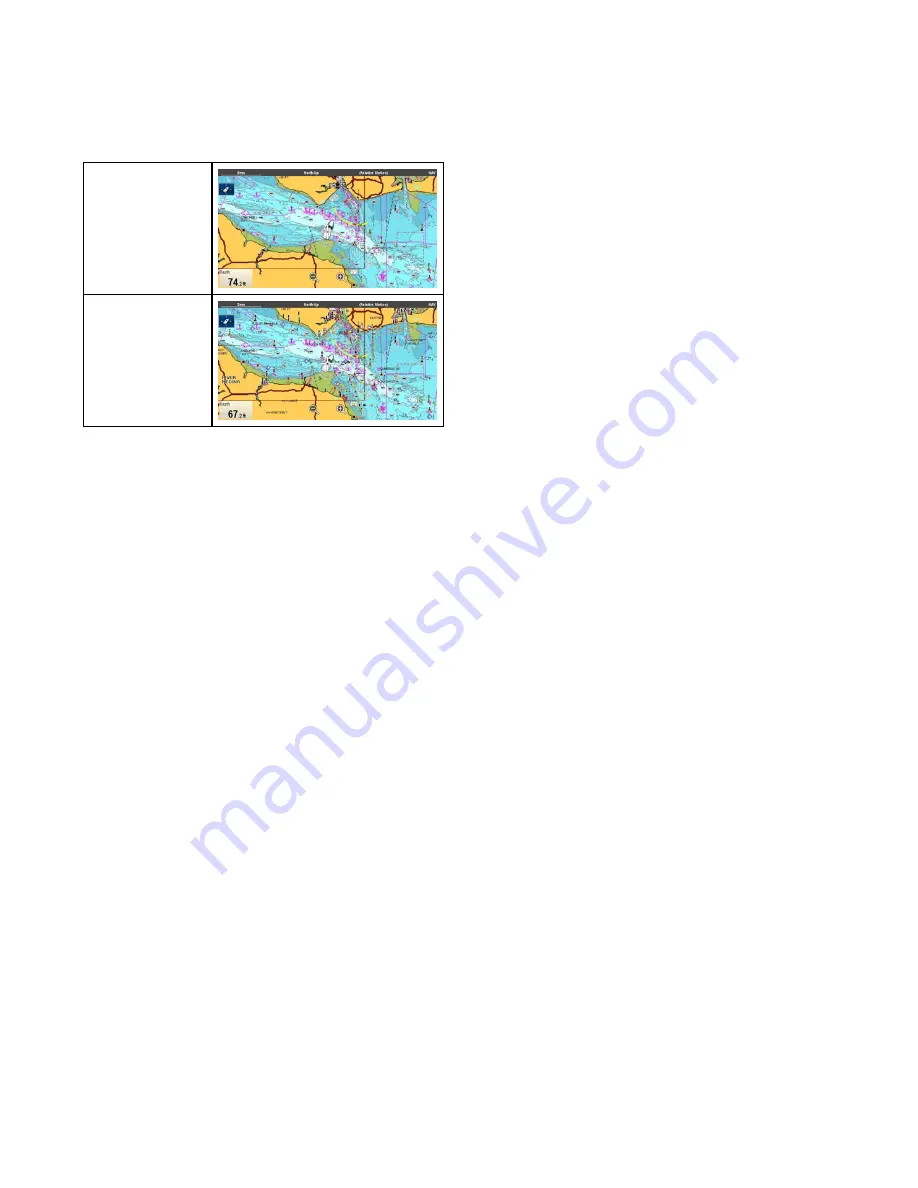
Chart detail
The chart detail setting is available when using
Navionics
®
or
LightHouse
Vector charts and
determines the level of detail shown in the Chart
application.
Low
High
Selecting the Low option for the
Chart Detail
disables the following objects and overlays:
• 2D Shading
• Community Edits
• Chart Text
• Chart Boundaries
• Light Sectors
• Routing Systems
• Caution Areas
• Marine Features
• Land Features
• Panoramic Photo
• Roads
• Additional Wrecks
• Color Seabed Areas
• Depth Contours
Changing the level of chart detail
From the chart application menu:
1. Select
Presentation
.
2. Select
Objects
.
3. Select
Chart Detail
to switch between High or
Low, as appropriate.
242
gS Series
Summary of Contents for Raymarine gS 195
Page 2: ......
Page 26: ...26 gS Series...
Page 43: ...D 36 mm 1 4 in E 39 2 mm 1 5 in F 90 mm 3 5 in Planning the installation 43...
Page 44: ...44 gS Series...
Page 110: ...110 gS Series...
Page 146: ...146 gS Series...
Page 174: ...174 gS Series...
Page 178: ...178 gS Series...
Page 196: ...196 gS Series...
Page 218: ...218 gS Series...
Page 328: ...328 gS Series...
Page 362: ...362 gS Series...
Page 418: ...418 gS Series...
Page 438: ...438 gS Series...
Page 439: ......
Page 440: ...www raymarine com...


