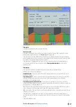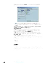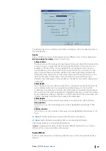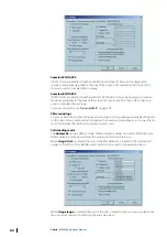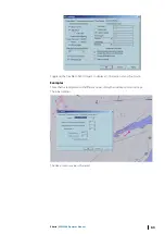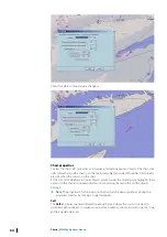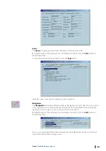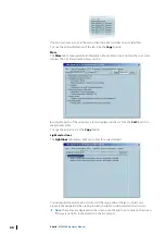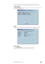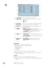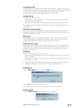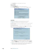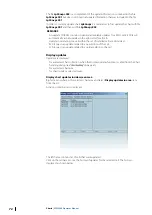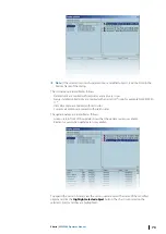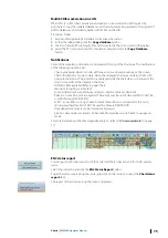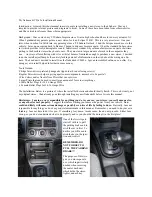
The default layers configuration is
Standard
. The set of layers to show is specified in IEC
61174, ed.4.
Ú
Note:
Any change of the Standard configuration triggers the alert indication. The
indication is displayed on the Legend panel of Console area. See
for details.
The Standard configuration specifies the set of layers only. Color scheme and Presentation
parameters can be changed without triggering an alert.
Other configurations
The
Base
configuration contains layers that must be always displayed: coastline, safety
contour, isolated danger, aid to navigation, recommended routes, and traffic separation
schemes. It is not possible to toggle off the
Display base
item.
The
All
configuration contains the maximum of layers to display, including depth spots,
cables and pipelines, ferry crossing, names, depth contours deeper than the safety contour.
Presentation settings
With the Simplified presentation symbols are displayed in a synthetic way.
In
Paper like
presentation, the presentations of floating buoys are presented in their actual
colors.
Points-Areas/Line options are the following:
•
Paper like
•
Traditional
•
Simplified
Chart depths
Projection
ECDIS can display charts in different projections and guarantees the consistency between
the datum used by GPS and the datum used in ECDIS for display and storage of routes, tracks
and other objects.
60
Charts
| ECDIS900 Operator Manual


