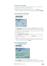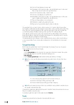
Manual acquisition
After pressing the
Acquisition
button with left mouse button, the next left mouse button
click over the chart area will be assumed as the manual acquisition command for the
Extractor/Tracker. If the button was pressed with right mouse button, all next left mouse
button clicks over the chart area will be assumed as manual acquisition commands until the
button will be released.
Manual position offset
GPS adjustments:
Overlapping the radar picture on the chart allows controlling the
accuracy of the GPS position. Indeed when, for example, a buoy displayed on the chart and
its radar echo do not match this is probably due to the ship’s position calculation accuracy.
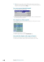
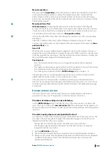
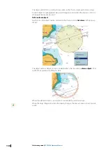
To adjust the position of the ship use the tool
Ship position offset
.
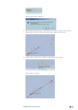
Click on the radar echo on the chart, then drag the mouse and click on the corresponding
chart object.
Then GPS is shifted and the values of the shifting are displayed in the position panel.
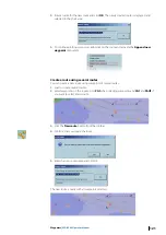
To release the shifting values click right button in the position panel and activate the
Clean
position offset
menu.
Gyro drift
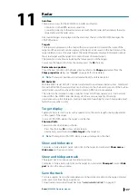
When the radar picture is slightly rotated compared to the chart, the drifting of the gyro is
probably the cause of the problem. To adjust the gyro in ECDIS900 enter the corrective value
of the heading with the small arrows. Then the radar picture will be rotated accordingly and
the gyro shifting value displayed in the Heading panel.
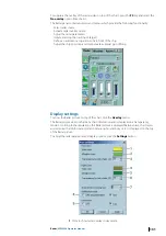
Zooming tool
•
Press the referenced button the cursor is changed to prompt for the zoomed area
selection.
•
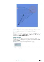
The square zooming window appears after the left mouse button click over the chart area.
•
The window represents the zoomed area below the central point.
•
The zooming rate could be specified in
ARPA Settings
dialog in range 2 – 6.
The zooming window could be dragged using the mouse, and zoomed content will be
updated after fixing the window on certain position for a while.
The radar video in zooming window is updated synchronously with the radar antenna
rotation. The zooming window disappears automatically if not moved in 15 seconds. Also it
could be closed manually with pressing the referenced button on the Radar property page
second time.
Known/common errors
The most common errors with the radar overlay are normally related to the network
connection. Contact your IT deaprtment to verify the network connection.
The colors of video overlay are not satisfactory
Use the
ARPA Settings
dialog to modify the colors. If the video overlay is too dark in the
raster charts, try to increase the
Low color value (%)
. This will decrease the transparency of
the radar overlay, but the brilliance of radar video layer over the dark parts of the chart will be
increased.
The radar overlay does not correspond to the chart
It is necessary to check if the system gets proper information from all necessary sensors. The
Gyro data is the most important. Compare the information displayed on the ECDIS with
information available on the sensor displays:
•
If ECDIS does not have this information, check the data in Sensor Monitor.
•
If ECDIS gets proper navigational information, but the radar overlay is not properly
arranged, follow the steps below:
1.
Run the
ARPA 2000
application
2.
Check if the own ship parameters are displayed correctly, mainly heading and speed.
3.
If there are zero values for all navigational parameters and referenced alerts are displayed
in ARPA 2000 Alarm Box, it means that the Extractor/Tracker does not receive the
navigational information:
Radar
| ECDIS900 Operator Manual
133

