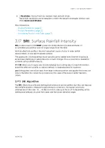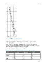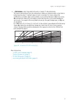
Figure 26 Example Profile Correction against Range
Profile correction in dB as function of distance from radar for elevation 1.0° (black) and 2.0°
(grey).
3.17.6 Format of Terrain Map File
The terrain maps are stored in the
surface_height.conf
file in the
${IRIS_CONFIG}
directory.
This file contains information for each radar site stored in an ASCII polar format. Here are the
first few lines of such a file:
SITE Boston
AZ_RESOLUTION 1.0
RANGE_RESOLUTION 1.0 300.0
AZ 0
5
3
3
3
8
14
15
12
10
Chapter 3 – Configuring IRIS Products
RESTRICTED
81
Summary of Contents for IRIS
Page 1: ...M211319EN H RESTRICTED User Guide IRIS Radar IRIS Product and Display...
Page 12: ...IRIS Product and Display User Guide M211319EN H 10 RESTRICTED...
Page 71: ...Chapter 3 Configuring IRIS Products RESTRICTED 69...
Page 303: ...Figure 103 Typical Spectrum Plot Appendix A Basic Radar Meteorology RESTRICTED 301...
Page 386: ......
Page 392: ......
Page 393: ......
Page 394: ...www vaisala com...


